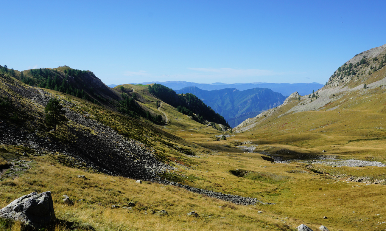
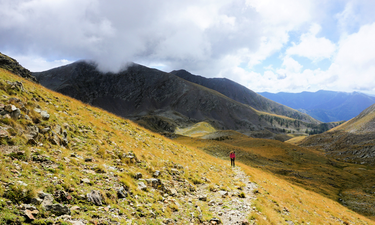
Col Ferrière above Millefonts
We had not driven up to Millefonts (2040 m) for a long time. The parking is at the end of a narrow, potholed albeit paved road starting above St-Dalmas Valdeblore, manageable with a normal car.
Our primary goal was Col de Ferrière (2484 m), bordering the Mercantour National Park. We had hiked there some years ago, then looped to Col du Barn and back to the parking.
 |
| View southeast from Millefonts |
 |
| Millefonts parking |
The morning was glorious, with blue skies and little wind. From the parking, we took a shortcut to the GR52 trail and ascended along it to Col de Veillos (2194 m; signpost #83). At the col, we quit the GR trail and headed to Lacs des Millefonts and Col Ferrière along a yellow-marked PR trail in the eastern part of the Millefonts Valley.
We came to Lac Petit (2225 m), in fact the biggest of the Millefonts Lakes. We followed the main trail, heading northwest along a grassy slope. A secondary path circled the lake and continued to one of the upper lakes.
 |
| Near Col de Veillos |
 |
| Vallon des Millefonts |
 |
| Lac Petit |
The good morning weather was gone, summits were partly covered with clouds and the wind picked up. Some high cumulonimbus cloud formations were visible. We reached Col Ferrière easily, but decided not to continue to the nearby Cime des Lauses (2651 m). The imposing chain of mountain massifs bordering Italy was still visible under the cloud layers.
We descended a bit to a warmer spot for our picnic then returned back to Millefonts parking.
The hiking area above Millefonts offers several possibilities in a high mountain environment. The summits are reachable in good weather, and it is easy to modify your itinerary when needed.
 |
| Cime des Lauses and Col Ferrière |
 |
| Pépoiri and Lac Petit |
 |
| Trail near Col Ferrière |
 |
| Col Ferrière |
 |
| Clouds gathering above Millefonts |
Climb: 500 m
Distance: ~7 km
Duration: about 3 h active
Map: Moyenne Tinée 3641 ET


0 comments:
Note: only a member of this blog may post a comment.