Col de Cuore from Old Castillon
The following hike runs along familiar trails between Menton and Sospel. It basically features the loop around Mont Razet (posted earlier), but with an extension to Col de Cuore on the Italian border.
The proximity of the coast, relatively easy access, and all-year round hiking options make Col de Castillon (706 m) a popular starting point.
 |
| Col de Castillon parking |
 |
| Biatonéa path |
 |
| Trail under Mont Roulabre |
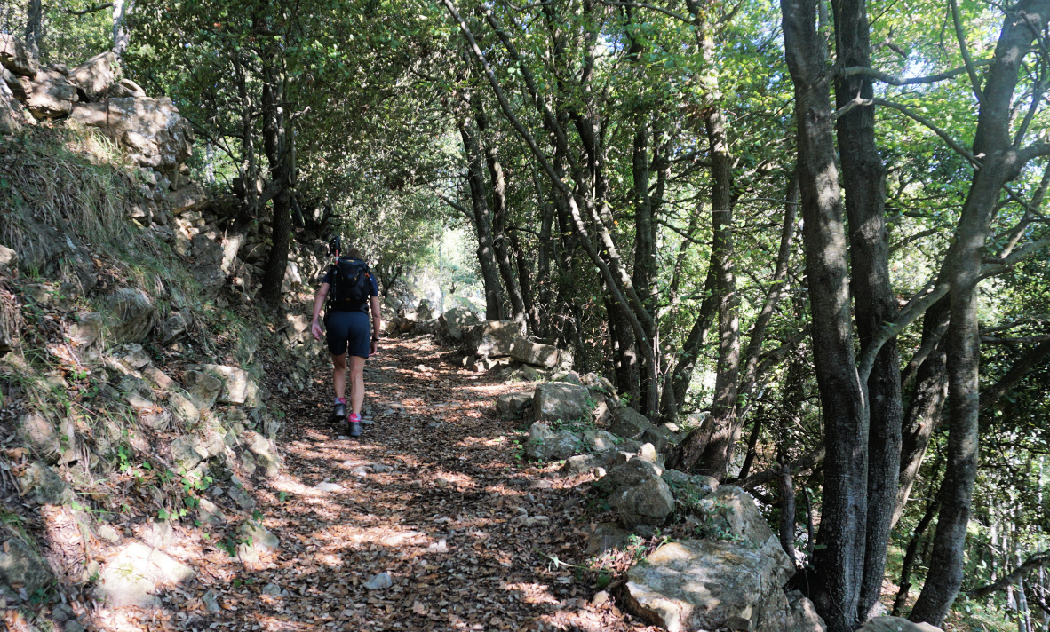
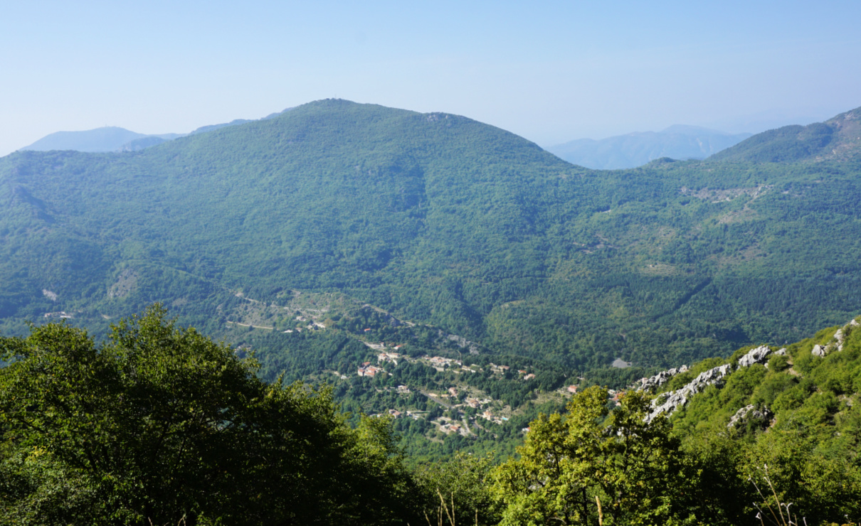
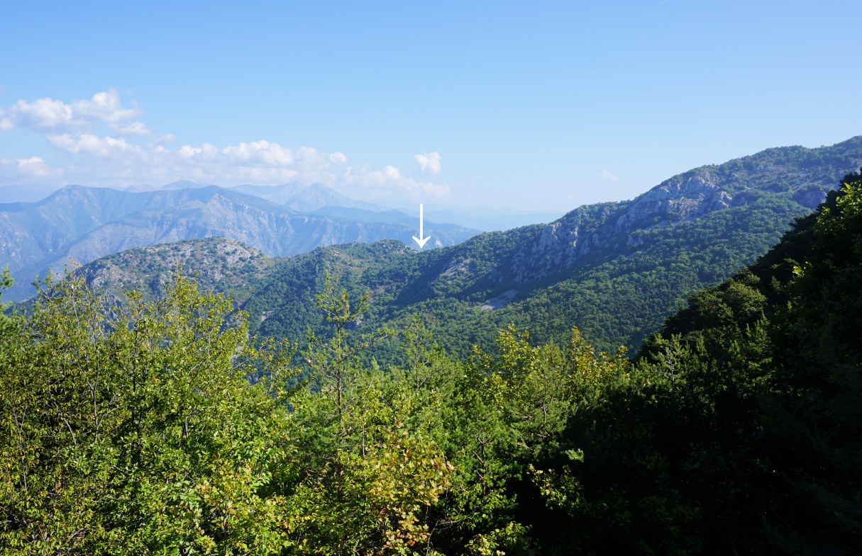
From the vast parking next to the ruined church, we descended a bit to Col de Castillon (signpost #135), then headed straight north towards the Biatonéa neighbourhood, first along a narrow street then a trail, reaching signpost #137 at a crossroads. We took the middle trail, and climbed to Baisse de Scuvion (1154 m; signpost #92) with good views to the west (Mont Ours etc), and to east.
 |
| View from trail before Baisse de Scuvion |
 |
| Mont Ours seen from Baisse de Scuvion |
 |
| Baisse de Scuvion |
 |
| Col de Cuore |
 |
| Near Col du Razet |
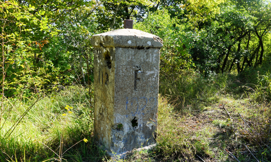 |
| Border post from 1927 |
 |
| La Pierre Pointue |
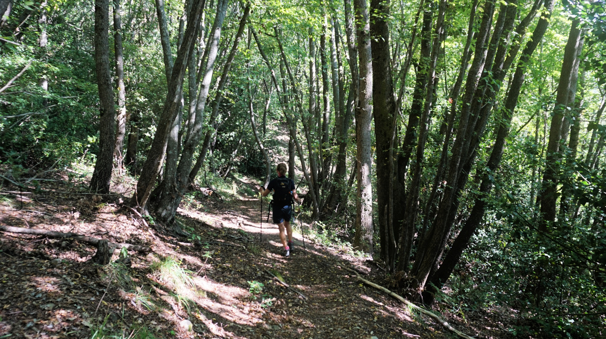
We descended in the woods along the Northern flank of Mont Razet to Col de Roulabre and Col du Razet (1033 m; signpost #90). Crossing the GR52 trail, we followed the trail northeast then north on the French side of the border. Apart from a few rockslide areas, the trail was good. After a short climb, we reached Col de Cuore with a border post from 1927. We had views down to the Sospel Valley, and Mont Razet while the view to Italy was limited due to the woods and vegetation.
As Col de Cuore marked our turning point today, we returned to Col du Razet, then headed to Pierre Pointue (1168 m; signpost #93a) on the southern side of Mont Razet. We passed remains of several bunkers, then forked left at signpost #93, and descended steeply back to the village via Biatonéa.
Climb: 750 m
Distance: 13 km
Duration: about 5 h active
Map: 3742 OT Nice Menton Côte d’Azur


0 comments:
Note: only a member of this blog may post a comment.