Col de Sanguinière hike above Estenc
We had previously hiked from Estenc to Col de Boucharde and Col de la Cayolle; it was an excellent loop in the upper Var River Valley. This time we wanted to explore the trail to Col de Sanguinière (2601 m), using the same starting point by the D2202 road just north of the hamlet of Estenc.
 |
| Trail start above Estenc |
 |
| Trail to Cabanes de Sanguinière |
 |
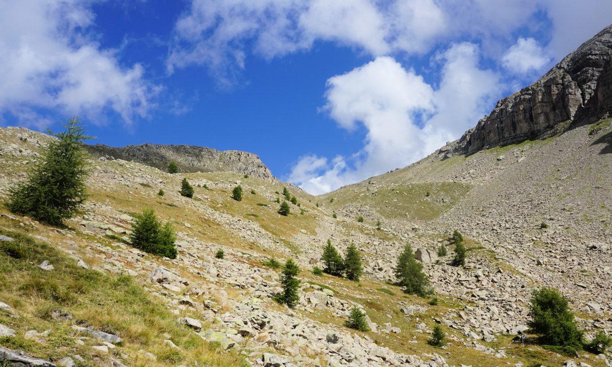
| Above tree line to Col de Sanguinière |
 |
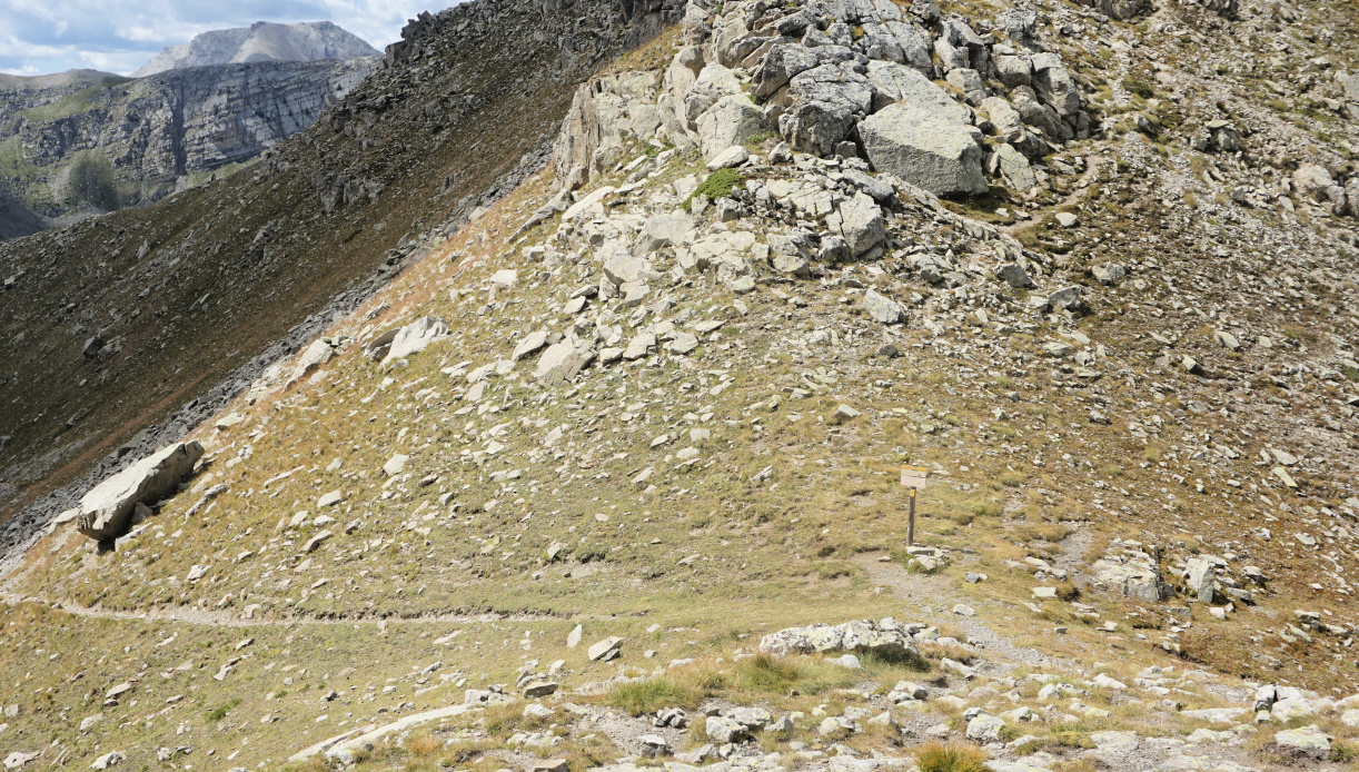
| Rocky trail near Col de Sanguinière |
 |
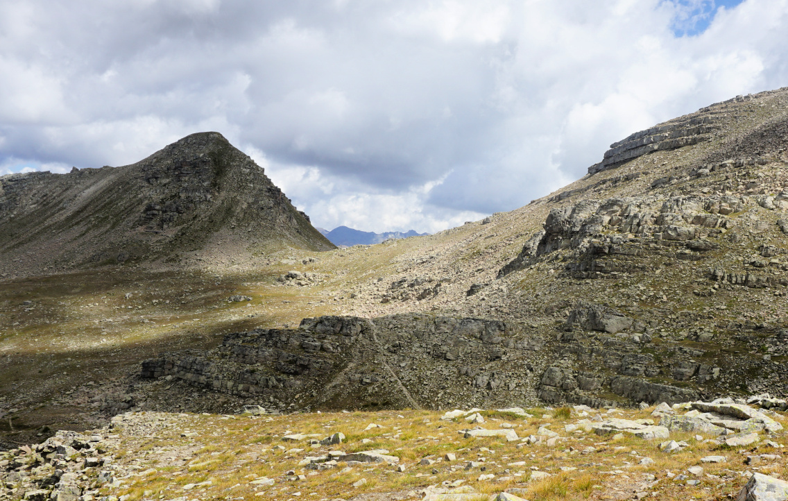
| Col de Sanguinière |
 |
| Col de Braïssa seen from Col de Sanguinière |
 |
| View south from Col de Sanguinière |
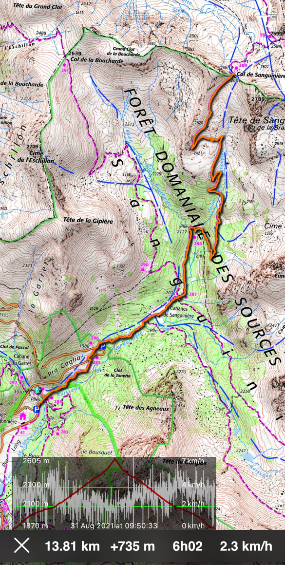
From signpost #284 (1870 m elev.) next to the parking, we entered the Mercantour National Parc, and climbed northeast. We crossed the D2202 road twice (signposts #285, 286), and continued in the woods to Cabanes de Sanguinière (2049 m). Soon after the huts and a clearing, we reached a crossroads at signpost #287 (2072 m). We continued straight, still in the woods, following the Sanguinière Stream along a nice and soft trail. We crossed a wooden bridge, passed signpost #288 and started to ascend more steeply along the southwestern flank of Tête de Sanguinière, the summit east of the homonymous col.
Above 2300 m elevation the forest was gradually replaced by a rugged high alpine scenery, and the trail became much rockier. We saw the mountain pass in front of us, but the marked trail had to make extra loops due to huge boulders south of the col.
From the col, on the opposite side, we had a view of the wide Vallon de Sanguinière, Col de la Braïssa, and the row of peaks south of Col de la Bonette. The atmosphere was tranquil but sauvage, just the screams of marmots broke the silence from time to time.
We returned along the same trail.
Climb: 730 m
Distance: 14 km
Duration: 5h 20 active time


0 comments:
Note: only a member of this blog may post a comment.