Butternut risotto


Butternut risotto


The following risotto recipe is adapted from the wonderful cookery book, The Mediterranean Diet Cookbook, by Nancy Harmon Jenkins. She described having a golden pumpkin risotto in a restaurant in Mantua, Italy, on a late autumn day. She wrote that “the rice shimmered on the plate like a golden harvest moon”. This must have been some time in the 1970’s when the cuisine in small Italian restaurants still was quite local.

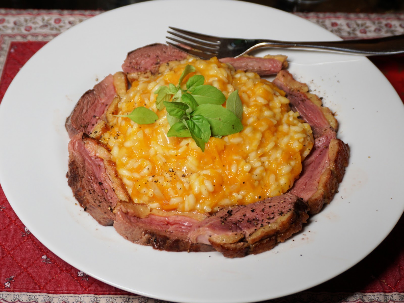
I have adapted her recipe for a modern risotto served with duck breast slices or a sliced steak as a main course. The colours will complement each other.

2 servings

2 handfuls of butternut cubes

120 ml risotto rice

½ medium onion, chopped

1 clove garlic, minced

2 tbsp. olive oil

150 ml white wine

500 ml chicken stock (you may not need it all)

A handful of freshly grated parmesan

Freshly ground black pepper


Heat the chicken stock to simmering and keep it warm while preparing the risotto. 


In a heavy saucepan, cocotte, warm the olive oil over medium- low heat and gently sauté the onion and garlic until soft, about 5- 10 minutes. Add the butternut cubes and stir until well coated with oil. Cover and cook for about 10 minutes until the butternut is soft enough to be mashed with a fork to almost a purée. 


Add the rice and stir to mix well. Increase the heat to medium and pour in half the wine. Keep stirring and as soon as the rice has absorbed the wine, add the rest. Then continue stirring and adding the chicken stock, ladle by ladle. The rice is done in about 25 minutes. It should be al dente, with a bit of a bite in the centre. The risotto should be thick enough to be eaten with a fork and the butternut sauce should be dense and brilliant yellow.


When the rice is done, remove the cocotte from heat and stir in the cheese and some black pepper. Divide the risotto on the plates and surround with duck breast or steak slices.


0 comments:

Note: only a member of this blog may post a comment.

Col de Sanguinière hike above Estenc


Col de Sanguinière in sight

We had previously hiked from Estenc to Col de Boucharde and Col de la Cayolle; it was an excellent loop in the upper Var River Valley. This time we wanted to explore the trail to Col de Sanguinière (2601 m), using the same starting point by the D2202 road just north of the hamlet of Estenc.

Trail start above Estenc
Trail to Cabanes de Sanguinière
Cabane de Sanguinière
Above tree line to Col de Sanguinière
Rocky trail near Col de Sanguinière
Col de Sanguinière
Col de Sanguinière
Col de Braïssa seen from Col de Sanguinière
View south from Col de Sanguinière
Descent from Col de Sanguinière


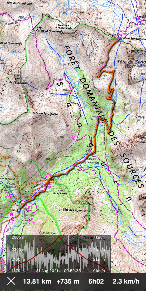
From signpost #284 (1870 m elev.) next to the parking, we entered the Mercantour National Parc, and climbed northeast. We crossed the D2202 road twice (signposts #285, 286), and continued in the woods to Cabanes de Sanguinière (2049 m). Soon after the huts and a clearing, we reached a crossroads at signpost #287 (2072 m). We continued straight, still in the woods, following the Sanguinière Stream along a nice and soft trail.  We crossed a wooden bridge, passed signpost #288 and started to ascend more steeply along the southwestern flank of Tête de Sanguinière, the summit east of the homonymous col.


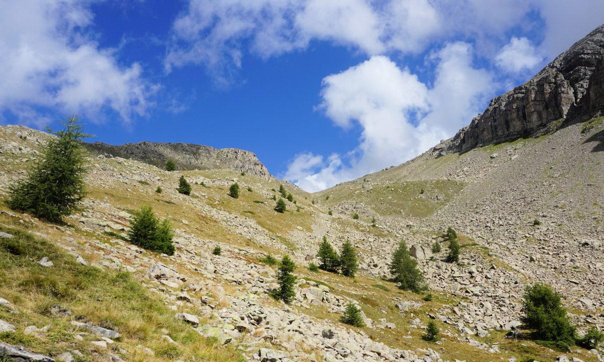
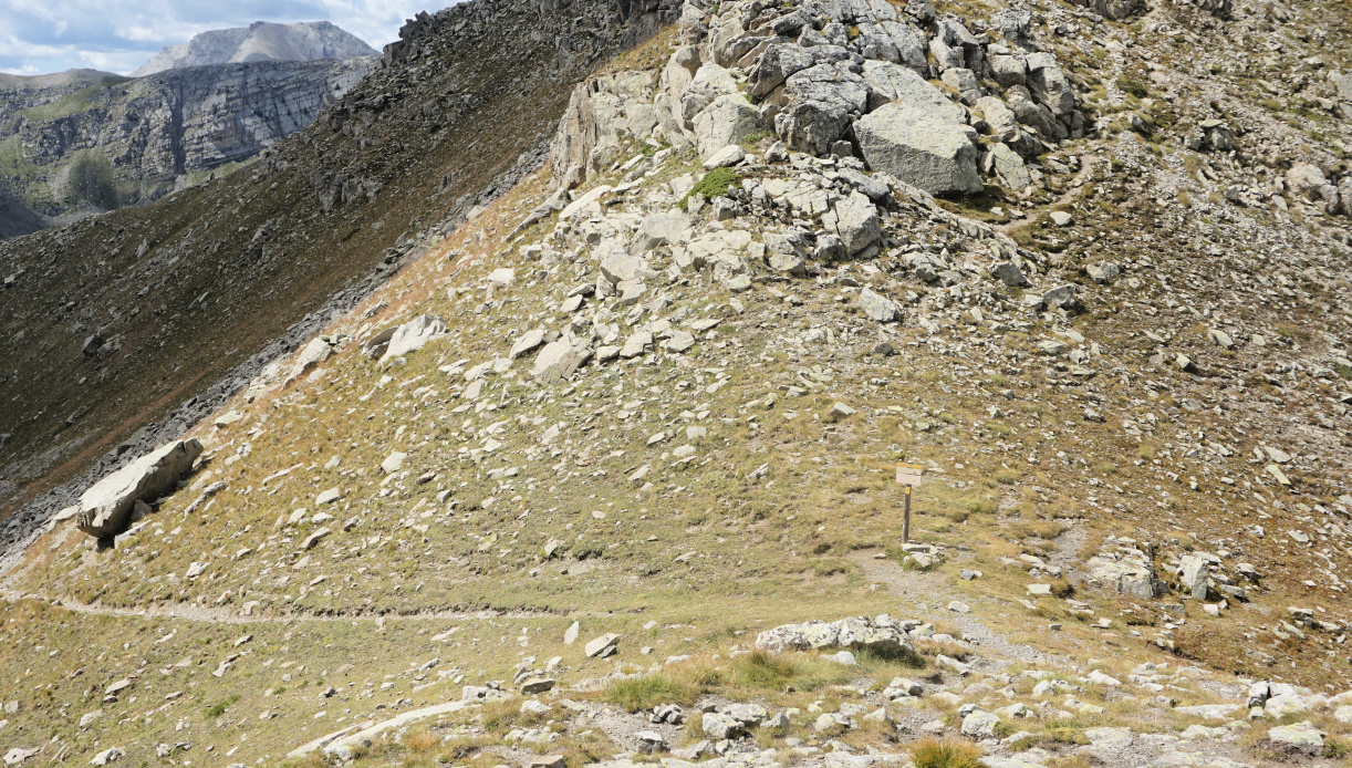
Above 2300 m elevation the forest was gradually replaced by a rugged high alpine scenery, and the trail became much rockier. We saw the mountain pass in front of us, but the marked trail had to make extra loops due to huge boulders south of the col.


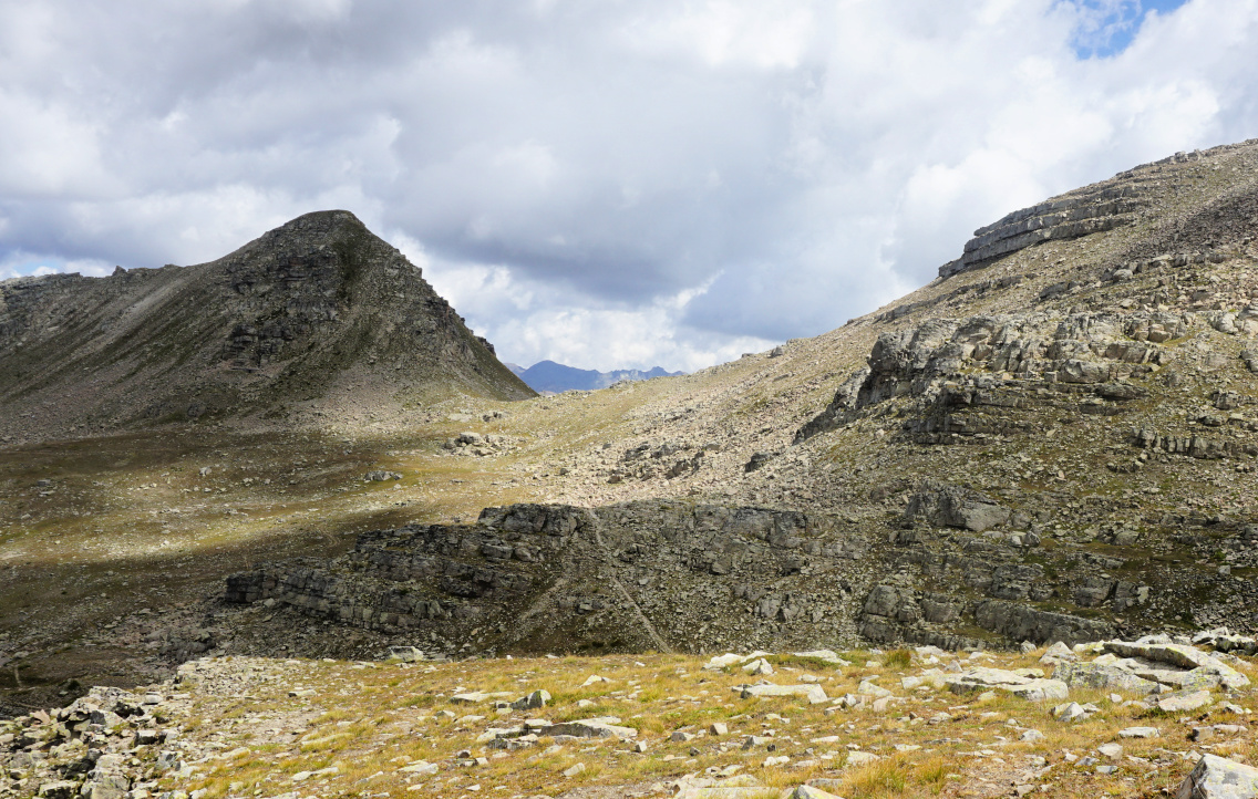
From the col, on the opposite side, we had a view of the wide Vallon de Sanguinière, Col de la Braïssa, and the row of peaks south of Col de la Bonette. The atmosphere was tranquil but sauvage, just the screams of marmots broke the silence from time to time.


We returned along the same trail.


Climb: 730 m


Distance: 14 km


Duration: 5h 20 active time


Col de Sanguinière track


0 comments:

Note: only a member of this blog may post a comment.

Butternut and chicken sauté


Butternut and chicken sauté


The following tasty sauté is perfect to make in autumn and winter when the butternuts and pumpkins are in season. 

2 servings

2 small organic chicken breasts without skin and bone

½ small butternut squash

2 tbsp. olive oil

1 small onion, chopped

1 clove garlic, minced

2 tbsp. grainy mustard, moutarde à l’ancienne

2 tbsp. crème fraîche, 15% fat

½ tsp. cinnamon powder

Freshly ground black pepper

Chopped fresh herbs


Cut the chicken breasts into about 2,5 cm x 2,5 cm cubes. Peel the ½ butternut and cut into cubes about the same size as chicken cubes. Microwave the butternut cubes for 3- 4 minutes until half-cooked.


Warm the olive oil in a frying pan over medium heat and sauté the chicken and butternut cubes on all sides for 10 minutes. Stir now and again. Add the onion and garlic and continue cooking and stirring for 10 minutes.


In a bowl, whisk together the créme fraîche, mustard, and cinnamon powder. Pour the mixture into the pan and stir. Grind over some black pepper. Reduce the heat, cover and simmer for 5- 10 minutes.


Serve with brown rice or rice mixture and decorate with chopped fresh herbs.


0 comments:

Note: only a member of this blog may post a comment.

Puy de Tourrettes from St-Barnabé


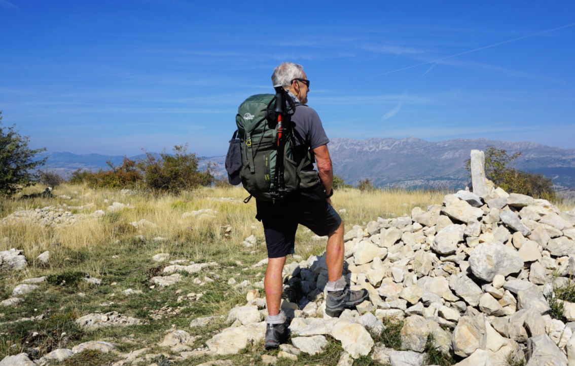
At Puy de Tourrettes


We have hiked up to Puy de Tourrettes (1268 m) many times, and written a few blogposts featuring different itineraries.

Because of its elevation (970 m), the parking on the St-Barnabé plateau is a tempting starting point to explore the surroundings. It should be added that marked routes to the Puy de Tourrettes   summit have been removed from new maps and some guides.

The terrain is not restricted but seems to be often used by sheep farmers.

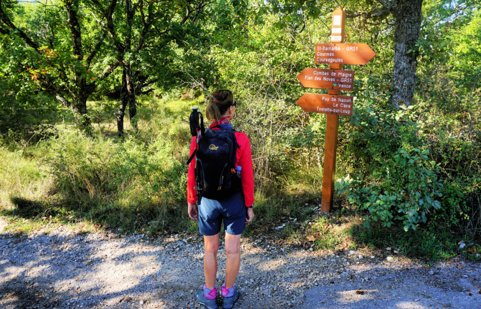
Start along GR51 signpost#262
Between signposts #167 #177
Puy de Tourrettes eastern flank
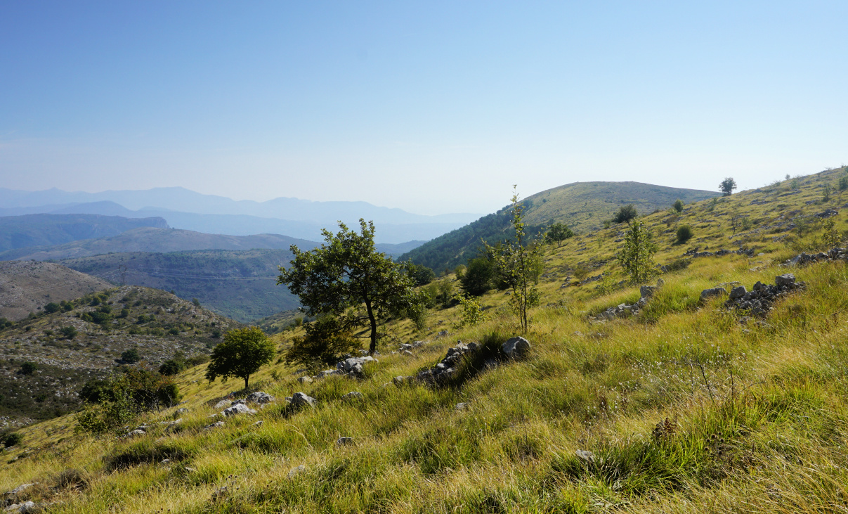
Puy de Naouri seen from trail


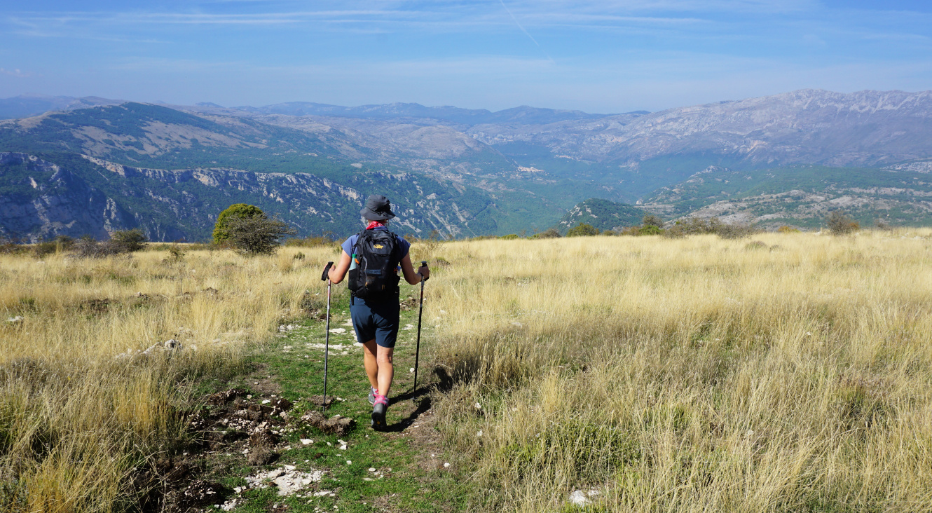
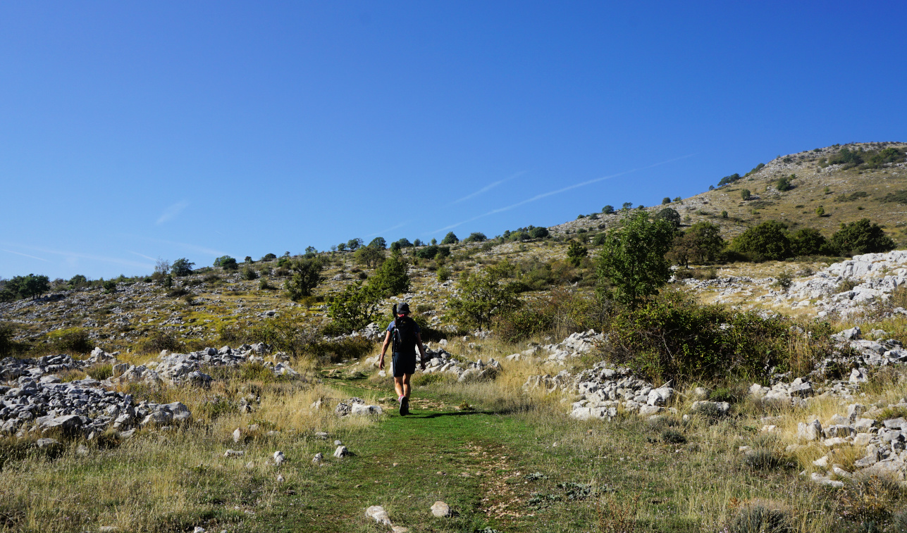
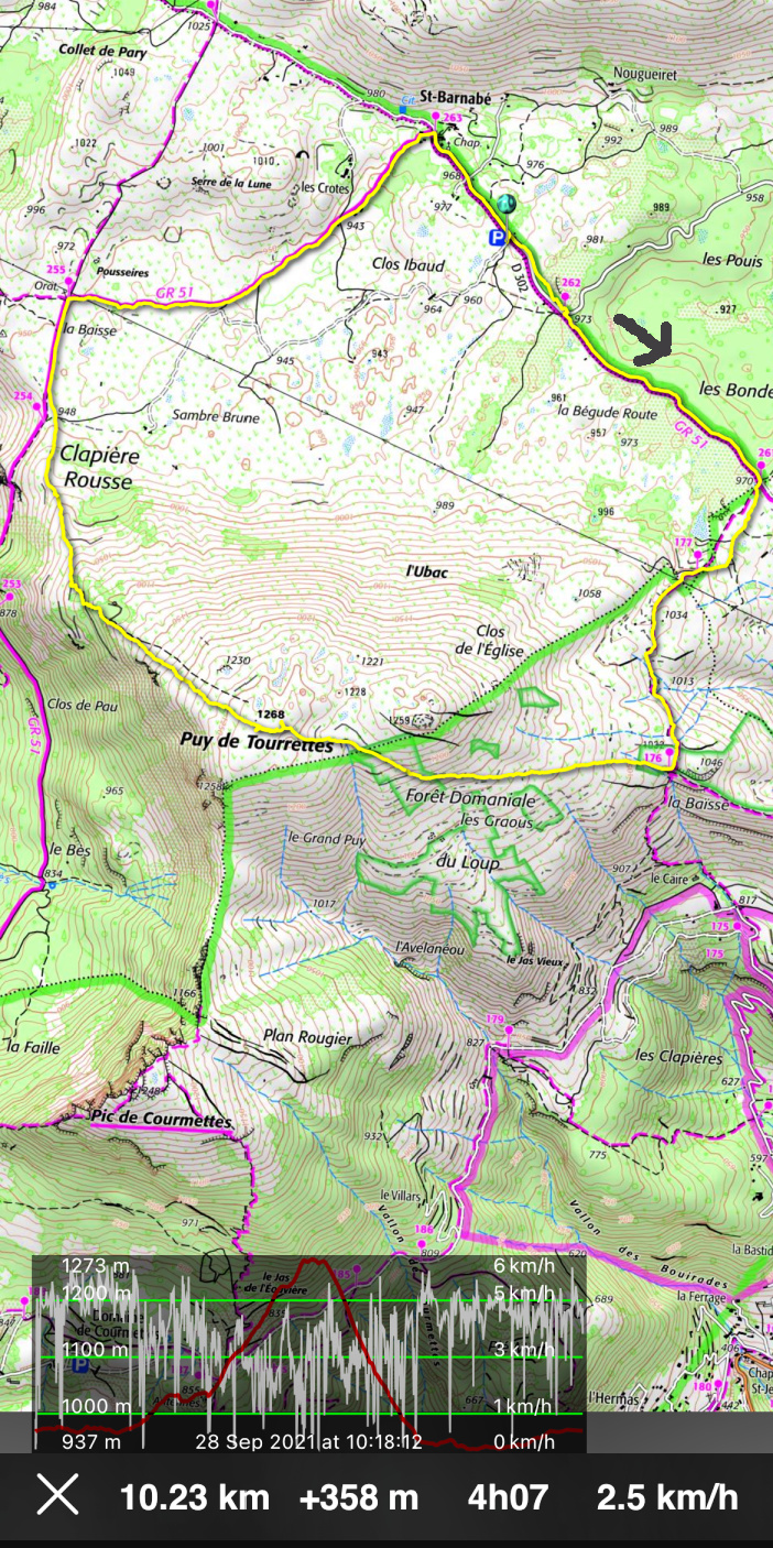
From the parking, we followed the GR51 southeast (almost flat) to signpost #261 where we forked right, heading south. We reached la Baïsse (signpost #176) above le Caïre. We forked right(west) and started to ascend along a good albeit unmarked path which took us directly to the flat summit marked with a big cairn. 


Pic de Courmettes seen from trail
Puy de Tourrettes summit
Descending to Plateau St-Barnabé
Oratory by GR51 trail St-Barnabé
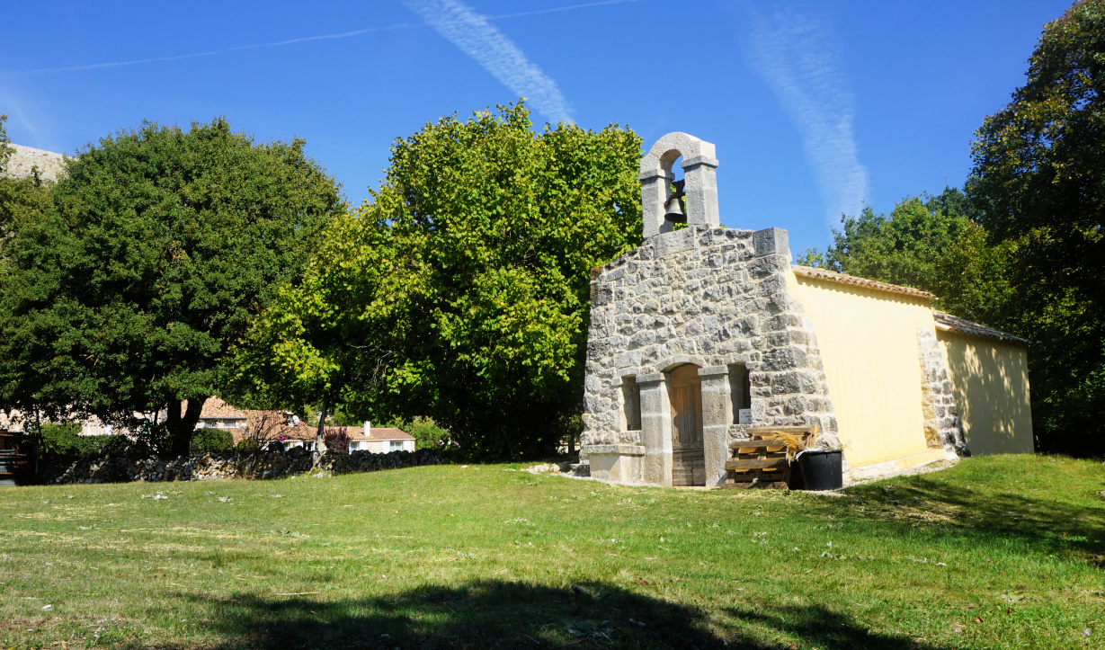
Chapel in St-Barnabé

The trail continued along the bare north western flank, and we descended along it passing Clapière Rousse and some pine woods. We came back to GR51, walked to signpost #255 and an oratory where we forked right again, and still on the GR51, headed first to the hamlet of St-Barnabé then back to our starting point.


Distance: 10 km


Climb: 360 m


Duration: 3h 30 active


Map: 3643 ET Cannes Grasse Côte d’Azur


Puy de Tourrettes loop


0 comments:

Note: only a member of this blog may post a comment.