Pralognan la Vanoise: Col Rosset hike
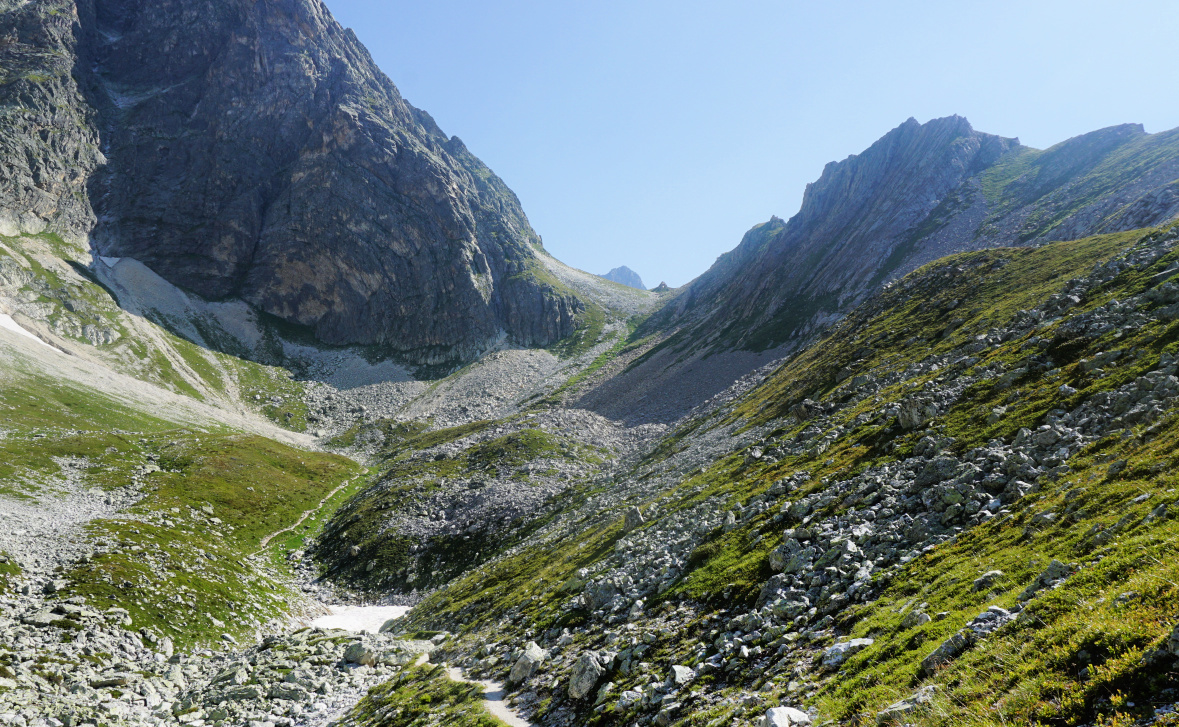
Compared with the famous Col de la Vanoise (2516 m) which lies on a large alpine meadow, Col Rosset (2545 m) is a narrow mountain pass with steep flanks on both sides. Therefore, the trail there is more challenging, with some exposed stretches.
Starting from Pralognan la Vanoise (1410 m), we decided to use the cable car to Mont Bochor (2022 m). Hiking from the village would increase the climb about 600 m. It is also possible to drive or take the shuttle bus to les Fontanettes (1640 m), and further the Génépi chair lift to Barmettes (2000 m), the latter not in service every day.
 |
| Mont Bochor |
 |
| Trail Before Col Noir |
 |
| Trail #10 to Col Noir |
 |
| Almost at Col Noir |
 |
| Grande Casse viewed from Col Noir |
 |
Vanoise Glacier seen from Col Noir
|
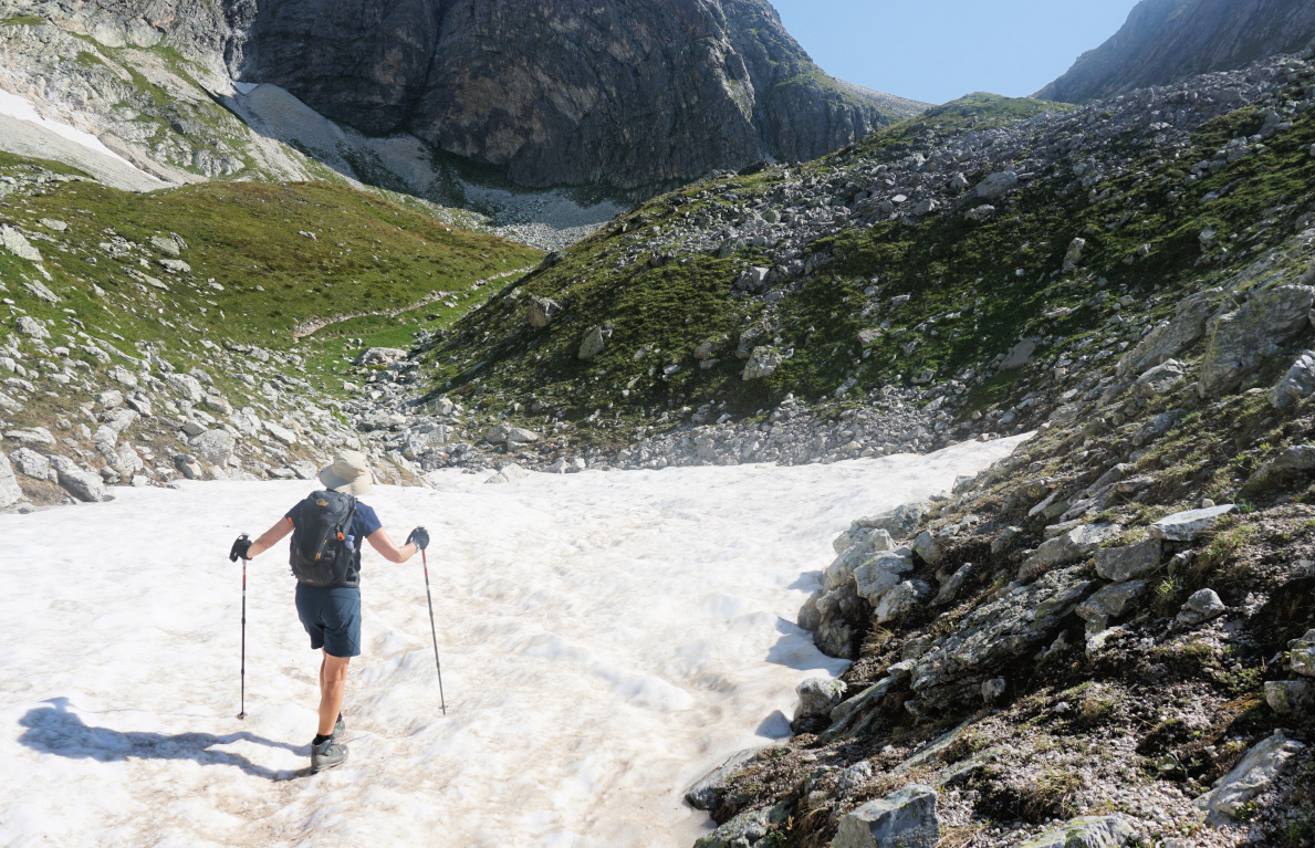
From Mont Bochor, we descended a few minutes to a crossroads, and started to climb along trail nr 8, mostly following the ski runs. We walked past the Ancolie ski lift upper station and a signpost at 2332 m where we took the right-hand trail (straight), now nr 10 in the Pralognan hiking guide. The trail became rockier and steeper after a patch of snow. We reached Col Noir, then continued along an exposed trail along a steep mountain flank. A chain was attached on the mountain side for extra security. However, the stretch was completely ok in good and dry weather.
 |
| Exposed part of trail to Col Rosset |
 |
| Near Col Rosset |
 |
| View to east from Col Rosset |
 |
| Descent from Col Rosset |
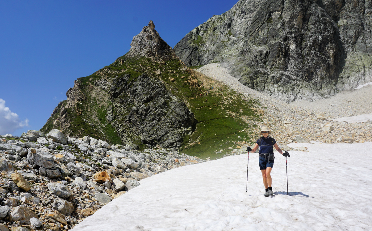
We climbed to Col Rosset which offered extraordinary views of the glaciers and the Grande Casse Massif. From Col Rosset, the initial descend to east was steep, then levelled off and we passed another stretch of snow before reaching Chalet des Gardes, just a small hut. We then descended rapidly to the GR55 trail which we followed to Refuge des Barmettes. We had an excellent late lunch on the terrace of Barmettes. From here, we climbed along trail nr 11 back to trail nr 8, and completed the loop. We took the Mont Bochor cable car back to Pralognan Village.
 |
| Col Rosset in background |
 |
| Barmettes |
 |
| Trail #11 to Mont Bochor |
Climb: 820 m Distance: 10 km
Duration: about 5 h active
Map: 3534 OT Les Trois Vallées
 |
| Col Rosset hike |


0 comments:
Note: only a member of this blog may post a comment.