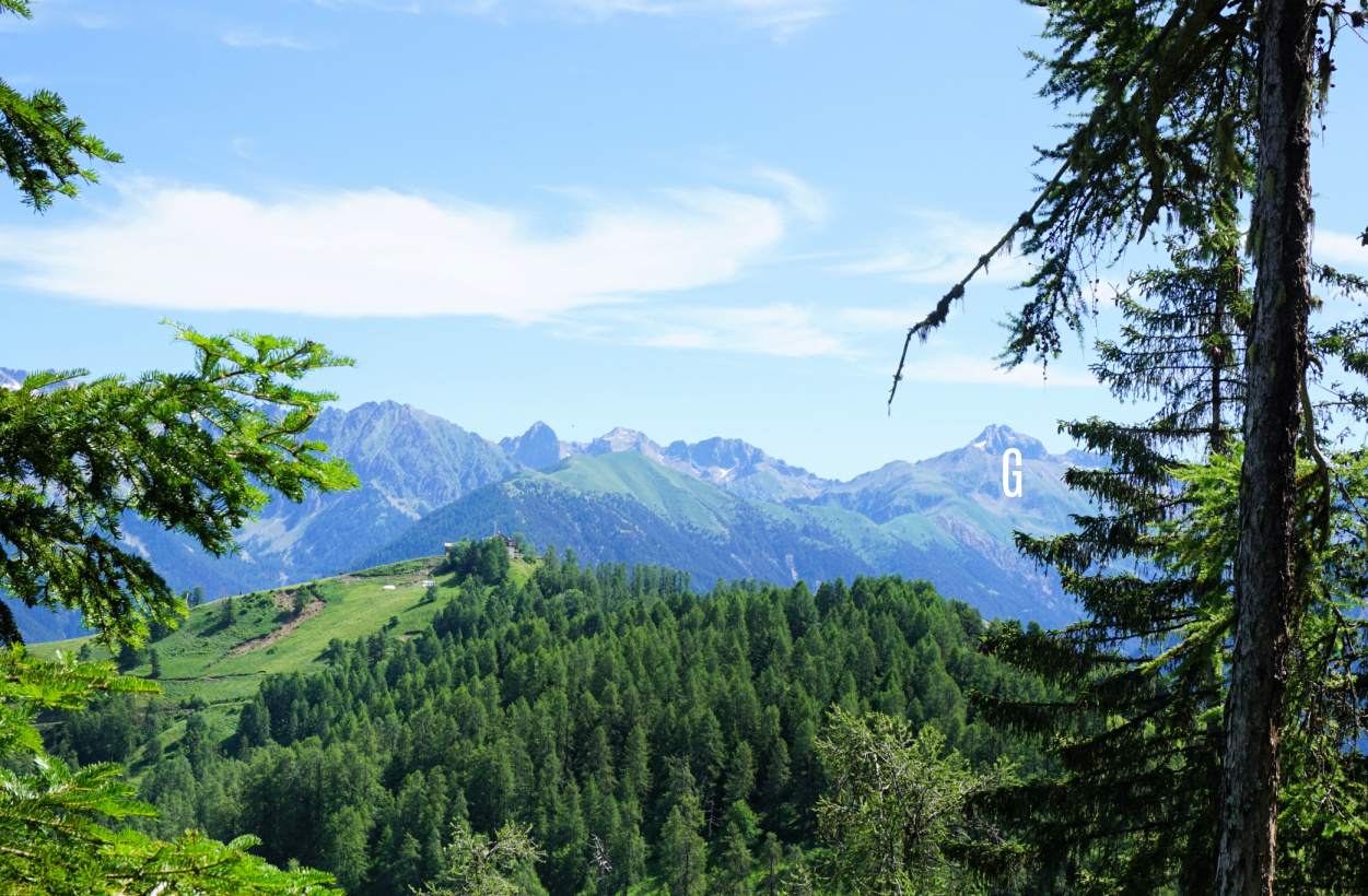
Mont Viroulet
Mont Viroulet (1864 m), as shown in the image above, has a forested northern flank and a quasi-bare and grassy southern face. Located above the Bramafam Valley (Valdeblore), the mountain can be easily reached from several points in the valley.
We chose to start from La Colmiane (1500 m) but the village of St-Dalmas Valdeblore (1290 m) is another popular option.
 |
| Peaks above Millefonts Lakes |
 |
| St-Dalmas Valdeblore |
 |
| At Col du Varaire |
 |
| Argentera seen from trail above Col du Varaire |
From La Colmiane, we hiked along the familiar trail to Col du Varaire (1710 m), passing signposts #94 and #98 where the trail merged with the GR5. We continued to Col de deux Caïres (1920 m) at the foot of Caïre Gros (2087 m). At the col, we forked right (west), and descended along a PR trail(yellow) to Col de la Madeleine (1736 m; signpost #97). We were at the foot of Mont Viroulet, and ascended along its partly forested eastern flank. The summit was actually a long ridge. We assumed that the highest point was marked with a large cairn partially hidden behind vegetation. We walked to the end of the ridge with great views to the west over the Tinée Valley as well as to the south.
We descended back to Col de la Madeleine where we forked left and descended further along a good and wide trail as far as to a dirt track. We headed east along it. The forest track ended near Col du Varaire but a path zigzagged the short remaining distance to the Col.
From Col du Varaire, we took the same trail back to La Colmiane.
 |
| Pic de la Colmiane and Gélas |
 |
| Near Col des Deux Caïres |
 |
| Near Col de la Madeleine |
 |
| Col de la Madeleine |
 |
| Caïre Gros seen from Col de la Madeleine |
 |
| View south from Col des deux Caïres |
 |
| Mont Viroulet summit |
Distance: 14 km
Climb: 680 m
Map: “Moyenne Tinée” 3641 ET


0 comments:
Note: only a member of this blog may post a comment.