Roure: Mont Autcellier
In search of new mid-altitude hiking trails in Alpes-Maritimes, we came across an interesting option above the village of Roure.
Although the trail to Mont Autcellier (2204 m) has been described and recommended by some French rando sites, both the trail and the mountain turned out to be less frequented than many other similar itineraries in the region.
One reason might be the access: The narrow and sinuous road which ascends from St-Sauveur sur Tinée (M30 then M130) first passing near the village of Roure then the Roure Arboretum above the village. There is a parking about 700 m from the Arboretum (La Barre; signpost #241 at 1373 m elev.).
 |
| Signpost #254 to Mont Autcellier |
 |
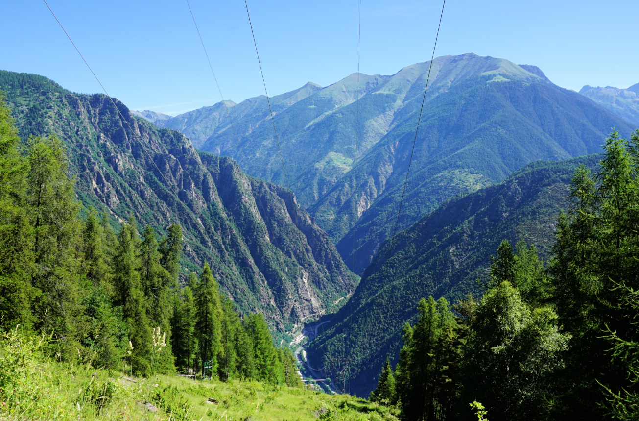
| View down to Tinée Valley |
 |
| Forêt de la Fracha Roure |
 |
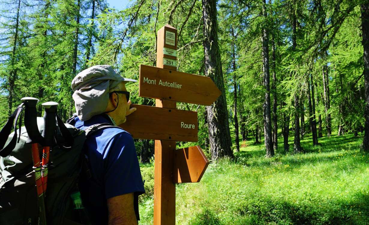
| Signpost #251 to Mont Autcellier |
 |
| Mont St-Sauveur |
We started along a dirt road (also part of the GR5) as far as to signpost #254 where we forked left, and ascended along a very soft forest trail. Beautiful larch forests in Alpes Maritimes are ubiquitous, but this particular forest -Forêt de la Fracha-exceeded our expectations.
The itinerary was straightforward. We passed signpost #251 showing the way to Autcellier. We reached a forested ridge (Crête de la Clouetta) and ascended along it, still heading northwest. The ridge already offered multiple great views.
 |
| View southeast from Crête de la Clouetta |
 |
| Crête de la Clouetta higher up |
 |
Mercantour peaks seen from Autcellier southern flank
|
 |
| Alpine meadow before Mont Autcellier |
 |
| Tête de Pommier and Roubion ski runs |
Gradually, at about 2000 m elev., the forest gave way to alpine meadows, and we had Mont Autcellier in front of us. Its south-eastern flank was very easy to climb. On the grassy summit plateau, a cairn with a stick probably marked the highest point. The panorama had been praised by many hikers and they were right: From Mont Mounier in the west to the snow-capped Mercantour summits further away in the east. The day was gorgeous but we only met one sole hiker and a few mountain bikers. Two Canadair fire bombers flew back and forth over us. Apart from these, we were alone in the pristine nature.
We returned along the same trail.
 |
| Mounier seen from Mont Autcellier summit |
 |
| Valberg viewed from Mont Autcellier |
 |
| Southern Tinée Valley seen from Mont Autcellier |
Climb: 830 m
Distance: 11,6 km
Duration: 4h 30 active
Map: « Moyenne Tinée » IGN 3641 ET
 |
| Mont Autcellier hike track |


0 comments:
Note: only a member of this blog may post a comment.