Montauroux: Loop hike near Lac St-Cassien
The Saint-Cassien Lake (147 m elev.) is an artificial water reservoir in the southeastern Var Department, inaugurated in 1966. The terrain west of the lake has a network of trails, offering several hiking itineraries, many of them not officially marked as hiking routes.
The GR 49 long distance trail runs along the forested western shore of the lake. Several tracks and trails connect the GR trail with the yellow marked PR trail which runs on the adjacent hills. We wanted to explore the area and tailor-make a nice loop.
We drove to the parking at the Fondurane Biologic Reserve. It took us less than an hour from Nice.
 |
| GR49 bridge over River Biançon |
 |
| GR49 near Gayet |
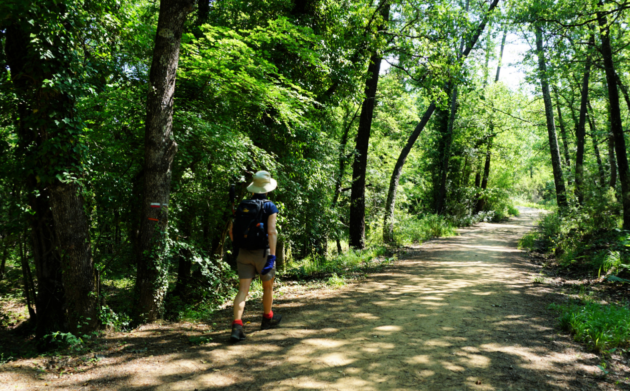
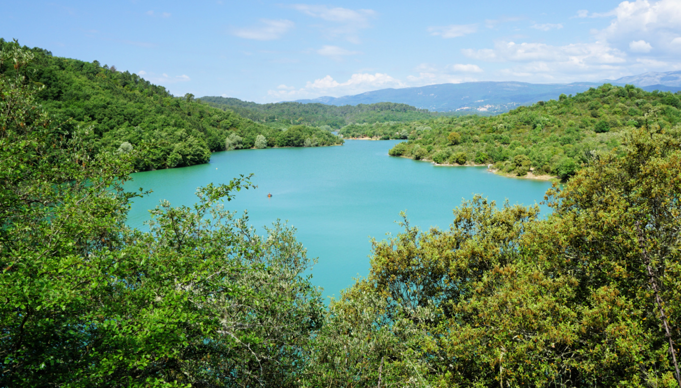
Heading south along the GR49, we crossed the bridge over the River Biançon. We followed the white/red GR markings. There were sporadic old signposts, but it was easy to follow the GR trail which in fact was a good dirt track, also used by cyclists. We crossed a stream, turned 180° and continued to a crossroads named Gayet on our map. Here, the GR49 forked left and we came nearer the lake. Climbing a bit, some stretches offered good views of the lake and the vicinity.
 |
| Glimpse of St-Cassien Lake from GR49 |
 |
| Pré Claou Bridge over St-Cassien Lake |
 |
| Track leaving GR49 above St-Cassien Lake |
 |
| Same track higher up |
 |
| Esterel and the Med seen from trail |
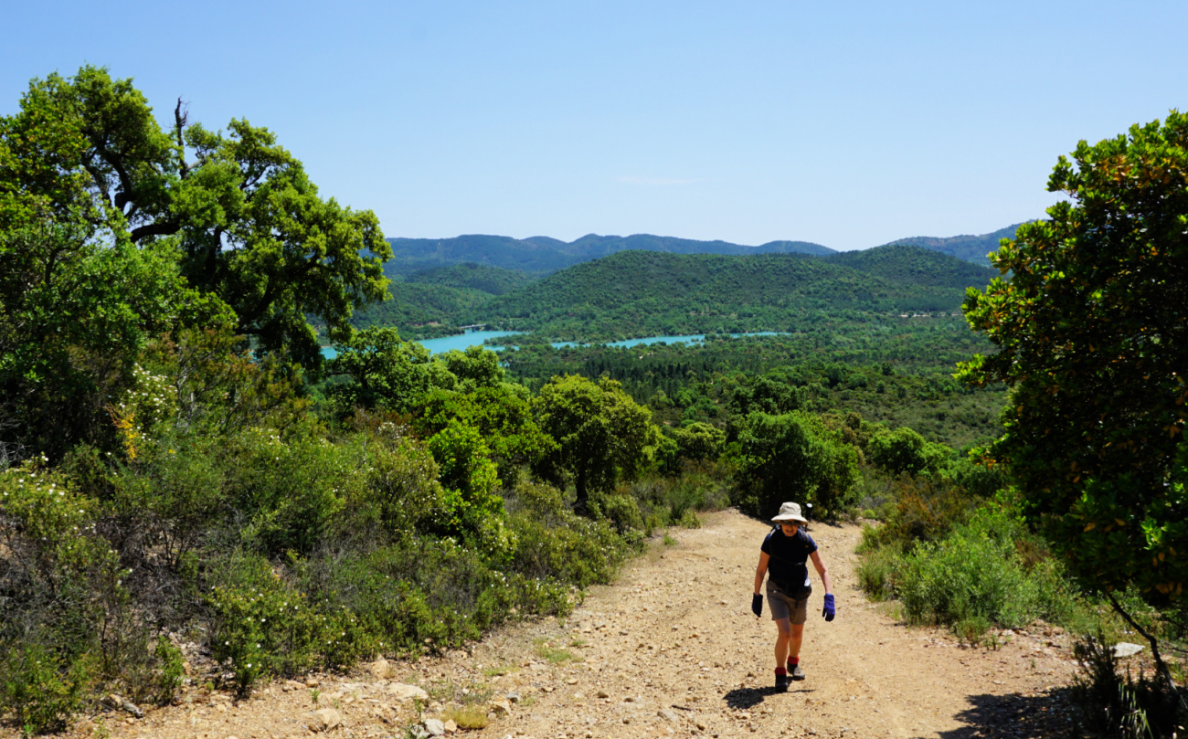
We continued along the GR49 5.9 km to a point (43.561798N 6.790824E) where we had found a good path to reach the hill. There were a few before this, but they looked both narrower and overgrown. Leaving the GR49, we forked right and climbed, partly in Forêt Domaniale de St-Cassien to a PR hiking trail which was a wide dirt track as well. We turned right, started to follow it and climbed a bit more to about 340 m where we passed a water reservoir.
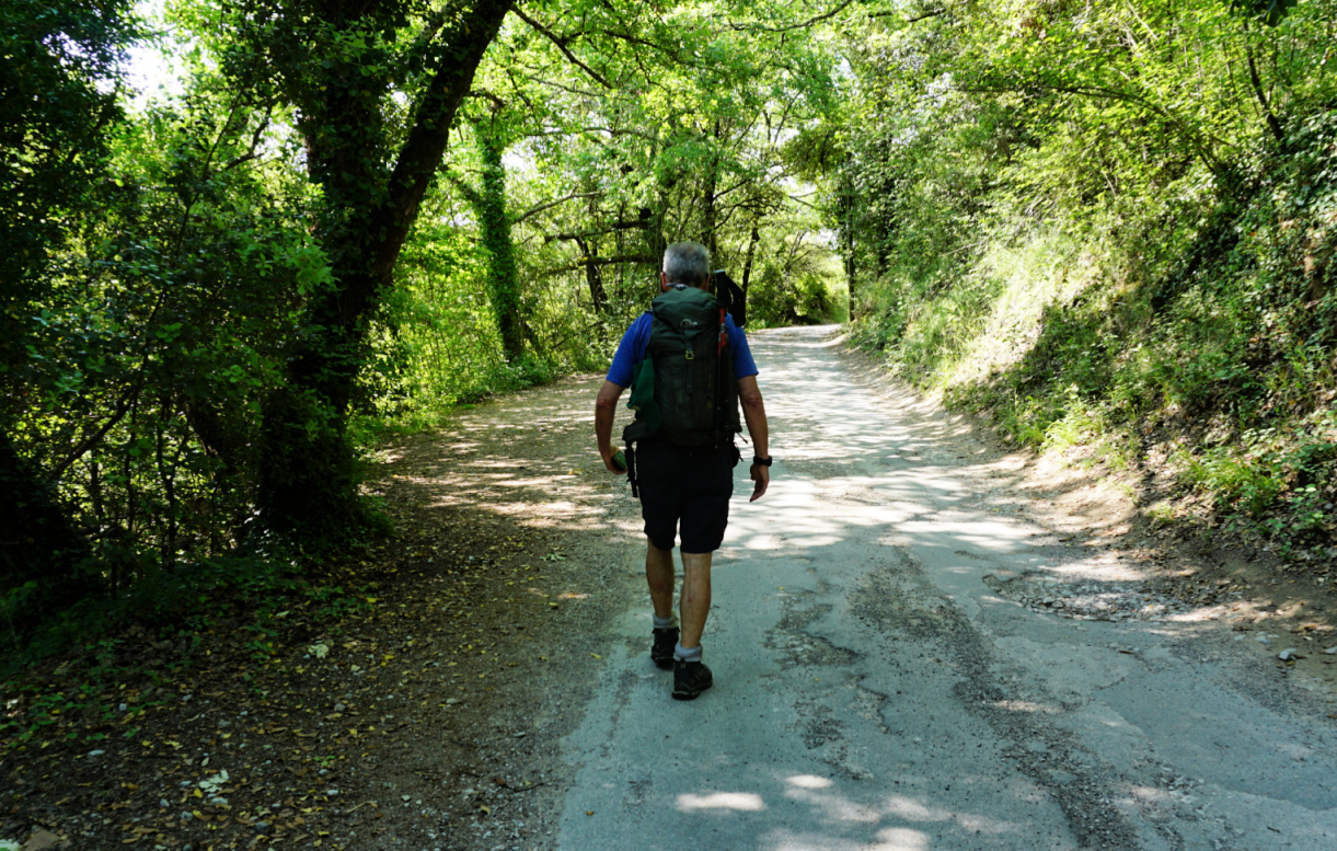
We now headed north, and descended rapidly to Gayet, where we re-joined the GR49 and walked back to our starting point.
Distance : 13 km
Duration : 3h 20 (active)
Climb : 260 m
Map : 3543 ET Haute Siagne
 |
| St-Cassien loop hike track |


0 comments:
Note: only a member of this blog may post a comment.