Allos: Col d'Encombrette
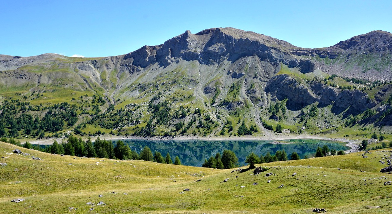 |
Lac d’Allos (2230 m) is a major attraction during the summer season. Located in the Mercantour National Park, it is the largest natural high-altitude lake in Europe. The mountains around the lake offer several hiking itineraries, culminating in Mont Pelat (3051 m).
Our goal today was a mountain pass called Col d’Encombrette (2527 m), south of the lake.
To reach the area from the Village of Allos, you have to drive up to one of the parkings by the paved D226 road. The parking Laus (2110 m) is highest and nearest the lake and costs 8 €, maximum capacity about 180 vehicles. There are parking possibilities by the road several km earlier. We chose to use the free La Cluit parking (about 1800 m). The trail from la Cluit connected with the GR56B/GRP trail which went to the upper parking, the lake and beyond.
Most visitors drove up to the upper parking, but even the lower one at La Cluit was busy early in the morning. This parking was unpaved, potholed, rocky and in an incline so be careful.
From La Cluit, we descended a bit along a PR trail which soon merged with the GR56B/GRP. We crossed a stream named le Chaudolin along a bridge (1713 m; the lowest point of the hike) and started to ascend. We passed Cascade de Chaloudin, then crossed the paved road a few times before reaching the upper parking. We crossed Plateau du Laus and turned south along a wide trail.
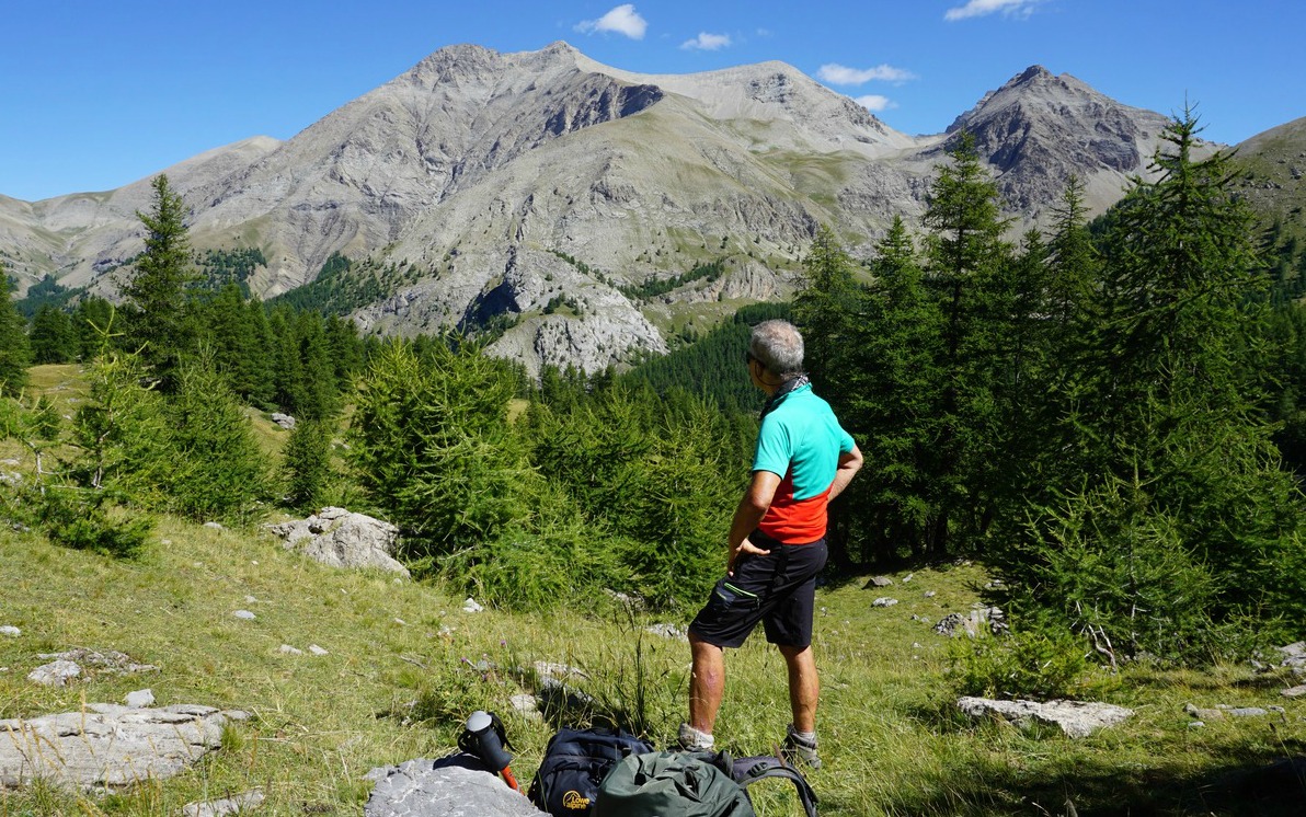
At the crossroads to the Lac d’Allos, we headed south towards Col d’Encombrette while most visitors forked left to the lake. We reached the tree line, and entered an area of vast alpine meadows, climbing gently. We had soon Lake Allos on our left-hand side and Mont Pelat dominating the landscape in the north. The trail was good and easy to follow all the way, and we saw Col d’Encombrette in front of us. There was a huge flock of sheep moving along our path, but interestingly no dogs nor shepherds. We had to wait a bit to let them pass before our final ascent to the mountain pass.
Deep in a basin below us, in the south, we had Lacs d’Encombrette while Tête de l’Encombrette rose to 2681 m behind them.
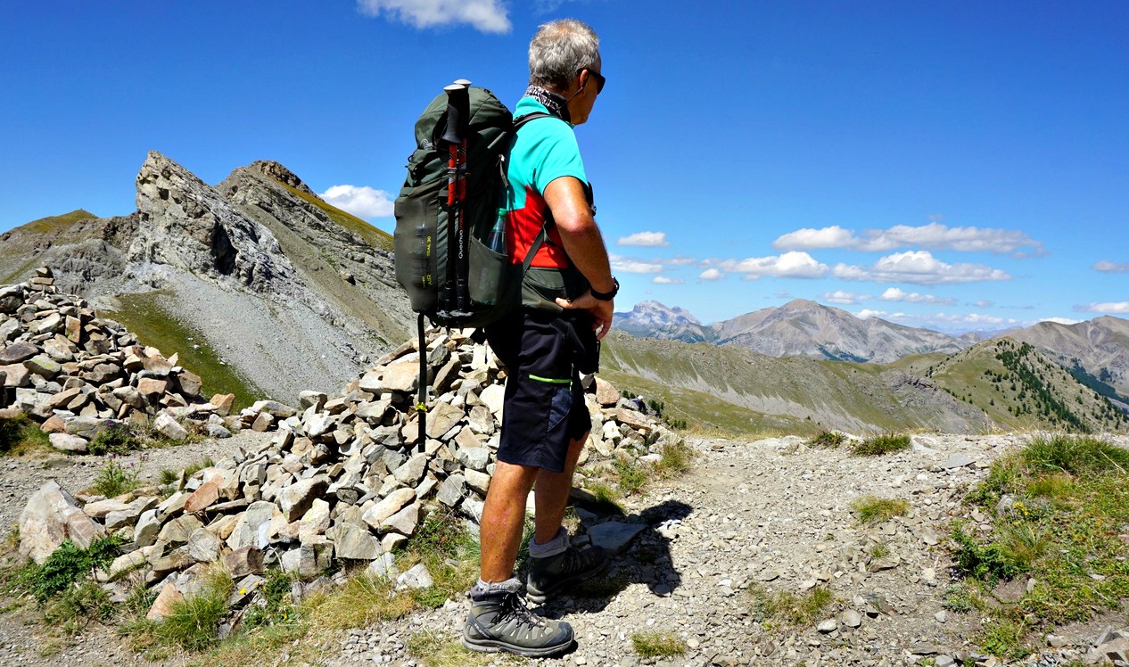
The col was a perfect spot to have a picnic break, and to admire the unique scenery.
We used the same trail back to La Cluit.
Duration: 6 h
Climb: 900 m
Distance: 17,5 km
Map: 3540 OT Barcelonnette, Pra-Loup, Le Sauze, Allos
 |
| Col d'Encombrette track |
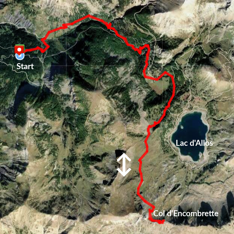 |
| Col Encombrette track satellite view |







0 comments:
Note: only a member of this blog may post a comment.