Abriès: Hike around Gilly
Gilly (2467 m) is a mid-altitude mountain above Abriès 1550 m). We are in Queyras Regional National Park, in the upper Guil River Valley.
The hiking trail around the mountain is included in some local guides and with a good reason: The trail offers a highly variable experience and great views. Moreover, the itinerary starts and ends in Abriès.
 |
Abriès centre
|
 |
Initial ascent from Abriès GR58
|
 |
Good signposts by the trail
|
 |
Bois de la Brune Abriès
|
 |
Le Roix and Bric Froid
|
 |
Bric Bouchet
|
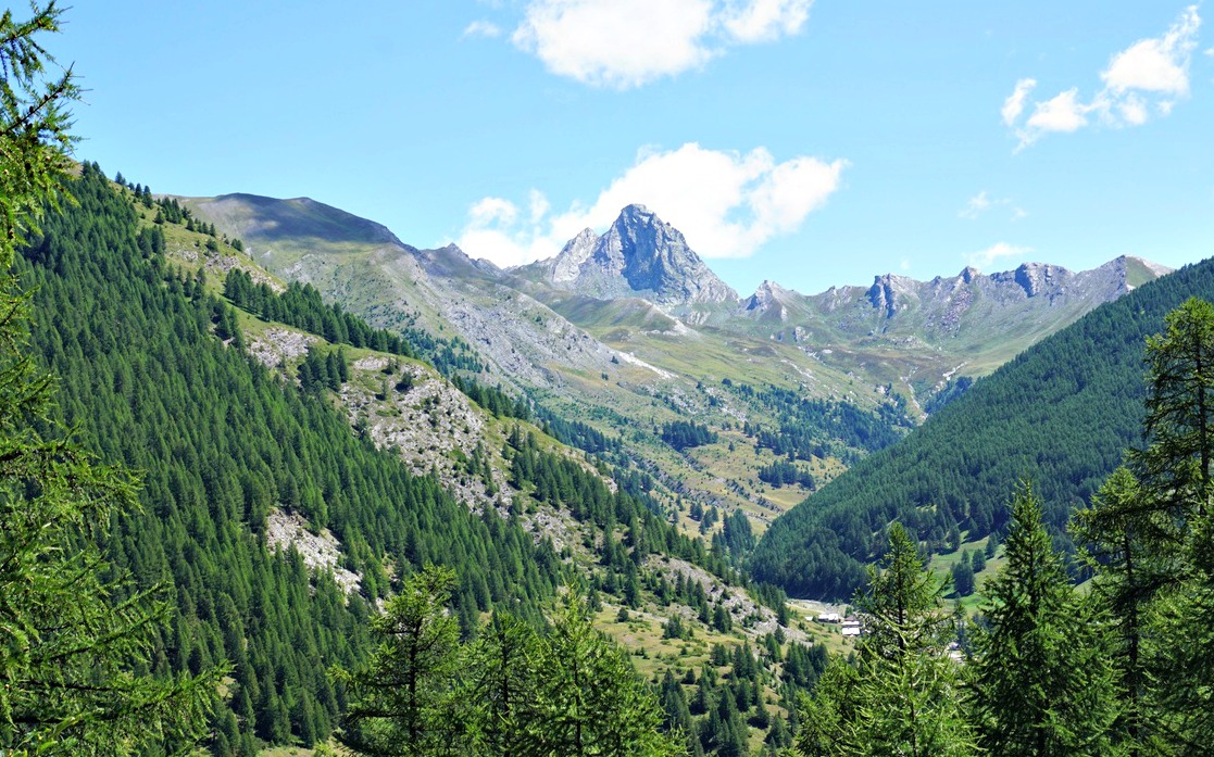
From the village centre, we walked about 200 m along the D441 road, then forked right at the signpost indicating GR58, Collette de Gilly etc. We ascended past an oratory, heading northeast. We ignored several other trails which was easy as our trail was a GR itinerary, with the usual white/red markings. The direction turned to the east, and we came to Bois de la Brune, a beautiful larch forest on the northern flank of Gilly. We saw the hamlet of le Roux below us, and further away in the north, the summit of Bric Froid (3302 m). In front of us, we saw the hamlet of Valpréveyre and Bric Bouchet (2997 m).
 |
Bois Noir Abriès
|
 |
Collette de Gilly 2366 m
|
 |
View to west from Gilly summit
|
 |
Descending from Collette de Gilly
|
We continued quasi-horizontally, still heading east, and reached Bois Noir. We crossed Torrent des Estachons, and came to a crossroads where we forked right (south), and started to climb. The trail was very good all the way. We passed a signpost at Clot de Bessey, then continued mostly above the tree line to Collette de Gilly (2366 m). After a break and a detour to the summit of Gilly (100 m vertical climb; 20-25 minutes extra), we started the descent along the southwestern slope which comprised alpine meadows and some ski runs. Our trail zigzagged in the incline, then turned southeast under some ski lifts.
We came to a small pond named Etang du Moussou (1917 m). At this point, we left the GR trail which went down to Ristolas and took a PR (yellow) trail back to Abriès, passing some ruined buildings before reaching the D947 road. We crossed the Guil River along a bridge and took a footpath back to our starting point.
Distance: 14 km
Duration: 5 h
Climb: 920 m (including the summit)
Map: 3637 OT Mont Viso St-Véran Aguilles PNR du Queyras
 |
Gilly loop hike track
|


0 comments:
Note: only a member of this blog may post a comment.