Lac de l'Etoile from Col de Vars
Having previously hiked to Paneyron (2785 m) from Col de Vars, we now wanted to explore the trail which continued further northeast from the summit. Our goal was Lac de l’Etoile (2755 m).
It was a gorgeous July morning. We had to drive up to Col de Vars (2108 m) early as the road was to be closed later in the morning because of a cycling event.
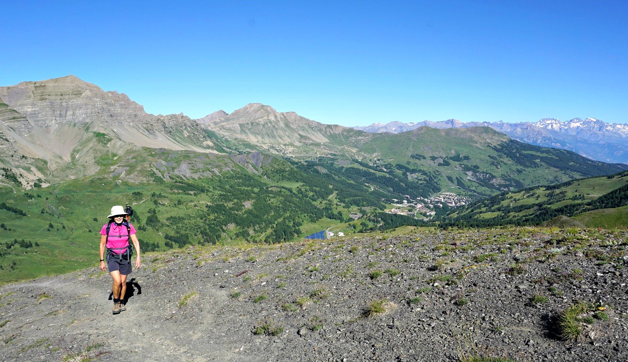
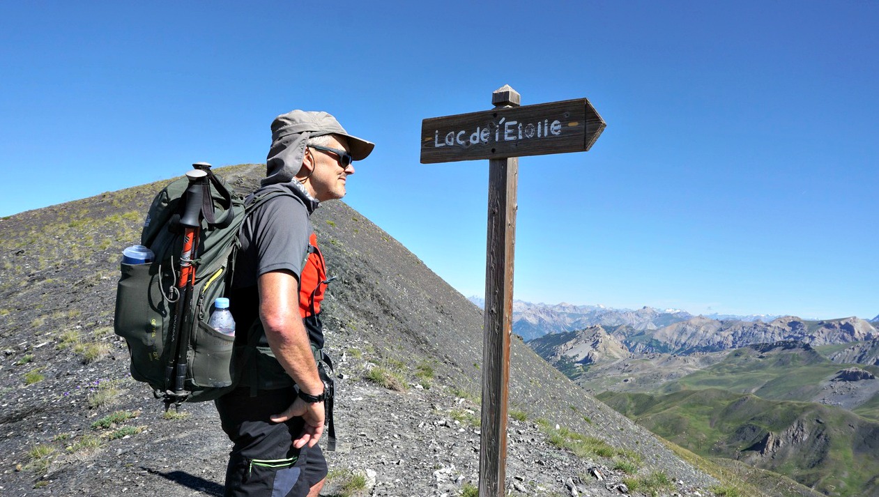
From Col de Vars, we took the dirt road which went to a shepherd’s hut. The trail to the summit forked right just before it, and we started to ascend along the southwestern flank of Paneyron. The trail first passed Alpine meadows, but soon the landscape became rockier and arid. Next to the summit, we came to a signpost showing Lac de l’Etoile to the right (east). After a rapid detour to the summit, we followed the trail which soon descended quite steeply. We had to focus on every step as there were loose stones and gravel. But we later found out that this path was one of the trail runners’ itinerary!
From Col de Vars, we took the dirt road which went to a shepherd’s hut. The trail to the summit forked right just before it, and we started to ascend along the southwestern flank of Paneyron. The trail first passed Alpine meadows, but soon the landscape became rockier and arid. Next to the summit, we came to a signpost showing Lac de l’Etoile to the right (east). After a rapid detour to the summit, we followed the trail which soon descended quite steeply. We had to focus on every step as there were loose stones and gravel. But we later found out that this path was one of the trail runners’ itinerary!
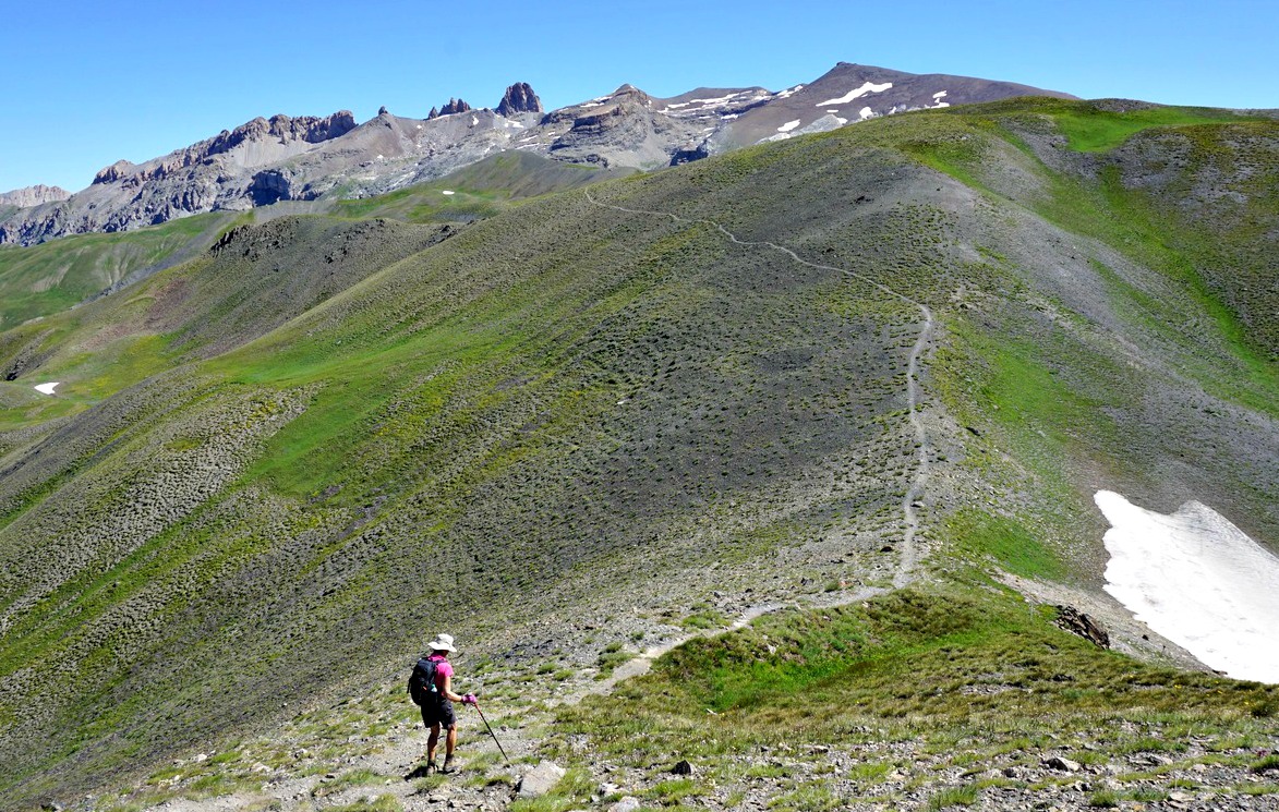
After the descent we ascended from 2655 m to 2731 m, followed by several smaller climbs and descents which increased our cumulative climb. The trail itself was easy to see, there were cairns and sporadic fading yellow markings.
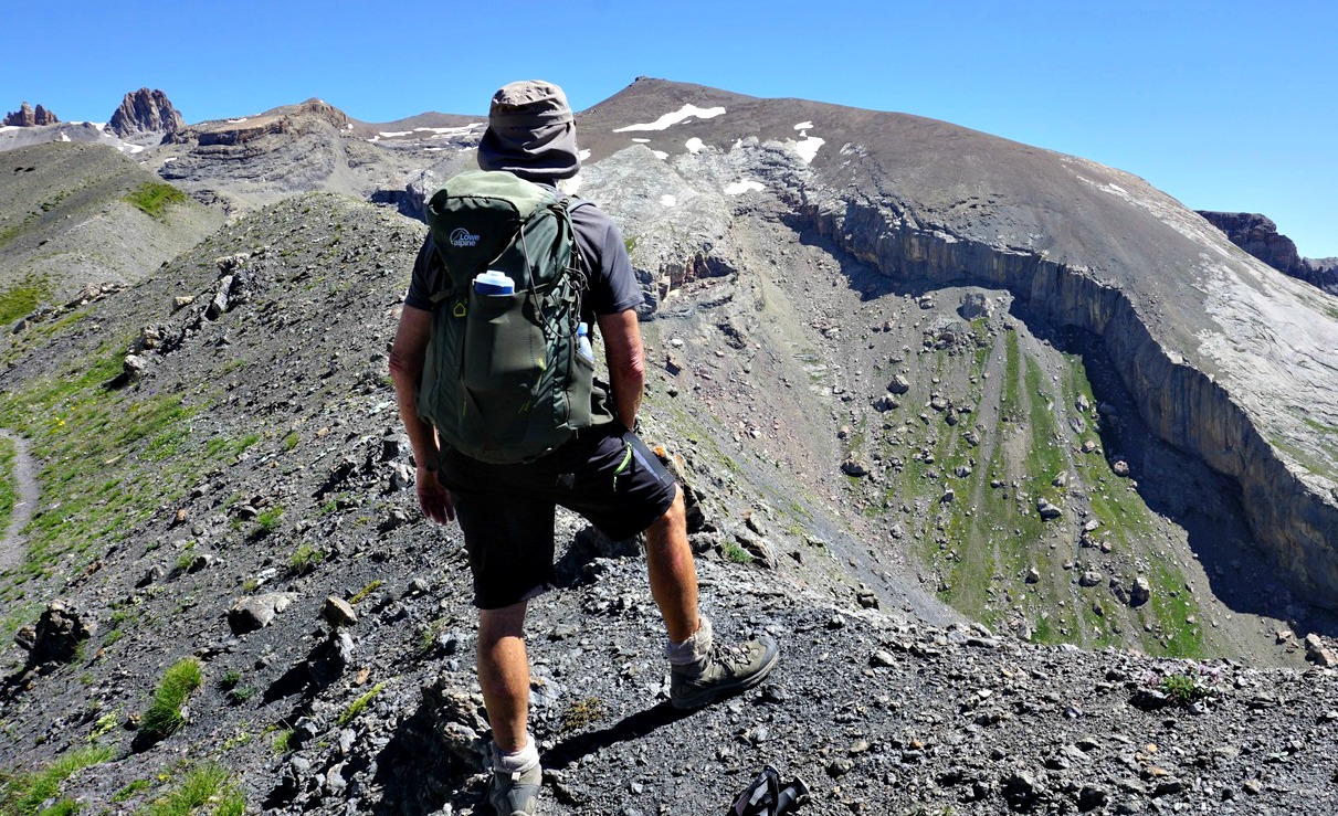
We passed an unnamed lake. We had simultaneous views to the Les Ecrins massif, Aguille de Chambeyron in the east and above all, the imposing massif in front of us: la Mortice, Pics des Houerts and many other 3000 m+ summits.
The shores of Lac de l’Etoile were still partly covered with snow. The lake lies in dark flysch terrain (shale/sandstone). Other geological wonders nearby include the huge karst formation below La Mortice, the highest in Europe.
We headed back along the same trail. Just before Col de Vars, we took the path which circled the hill between the Col and the hut (map below).
Climb: 1024 m
Distance: 13 km
Duration: 5h 30
IGN Map: 3538 ET « Aguille de Chambeyron Cols de Larche et de Vars »
 |
| Lac de l'Etoile track |


0 comments:
Note: only a member of this blog may post a comment.