Loop trail above Courmes

The village of Courmes (630 m) is about 16 km from the Mediterranean as the crow flies. We have previously made good hikes from the village, such as to the nearby peaks Puy de Tourrettes and Pic de Courmettes, both over 1200 m.
On today’s hike we wanted to explore a new itinerary that also made a loop in the western part of the vast St Barnabé Plateau.
We forked left from the village parking, heading straight north towards Vallon des Combes. The path was marked yellow. Most of the signposts along the trail had old numbers compared with the new IGN hiking map of the area. For example, we started from signpost #88 which was #250 on the map.
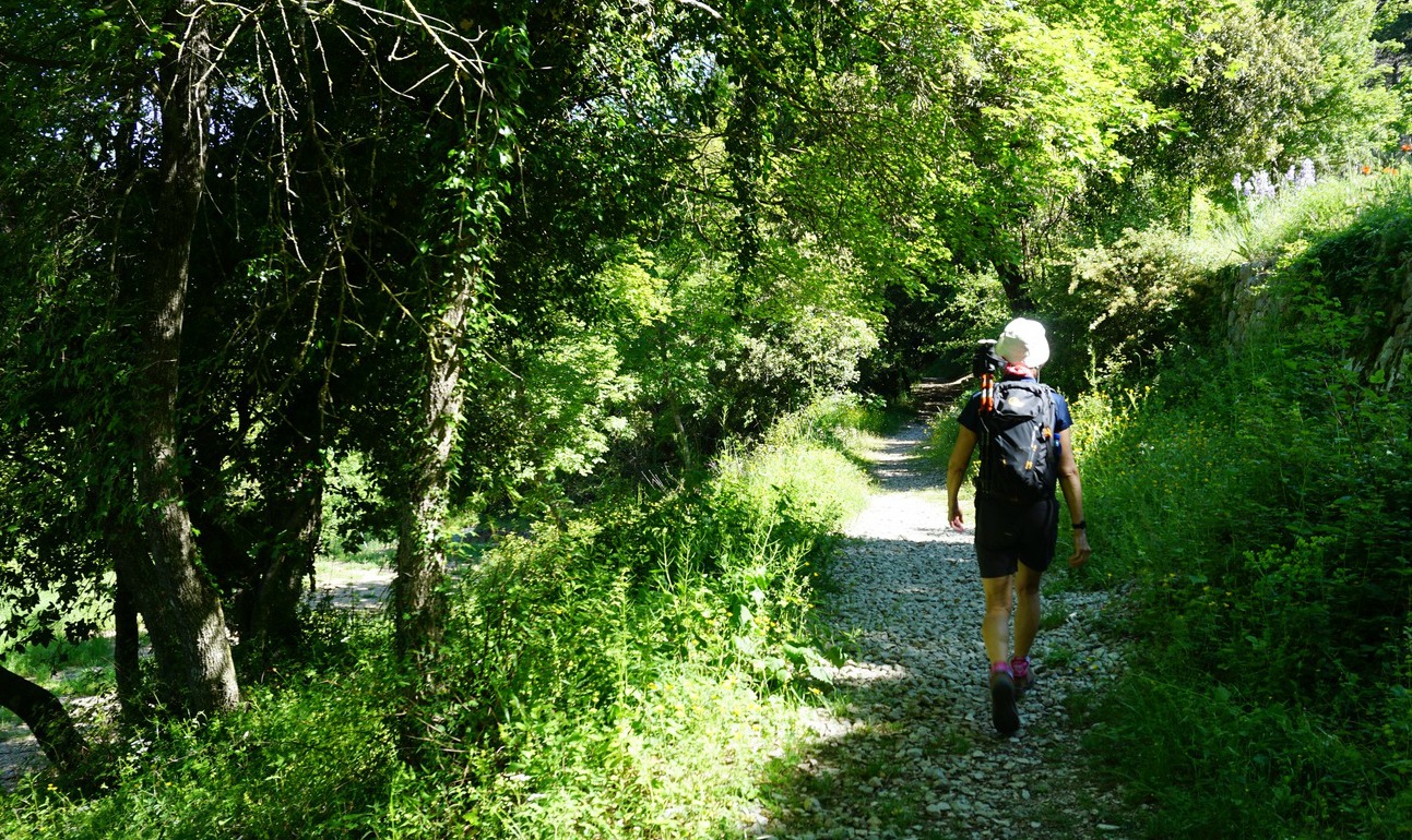
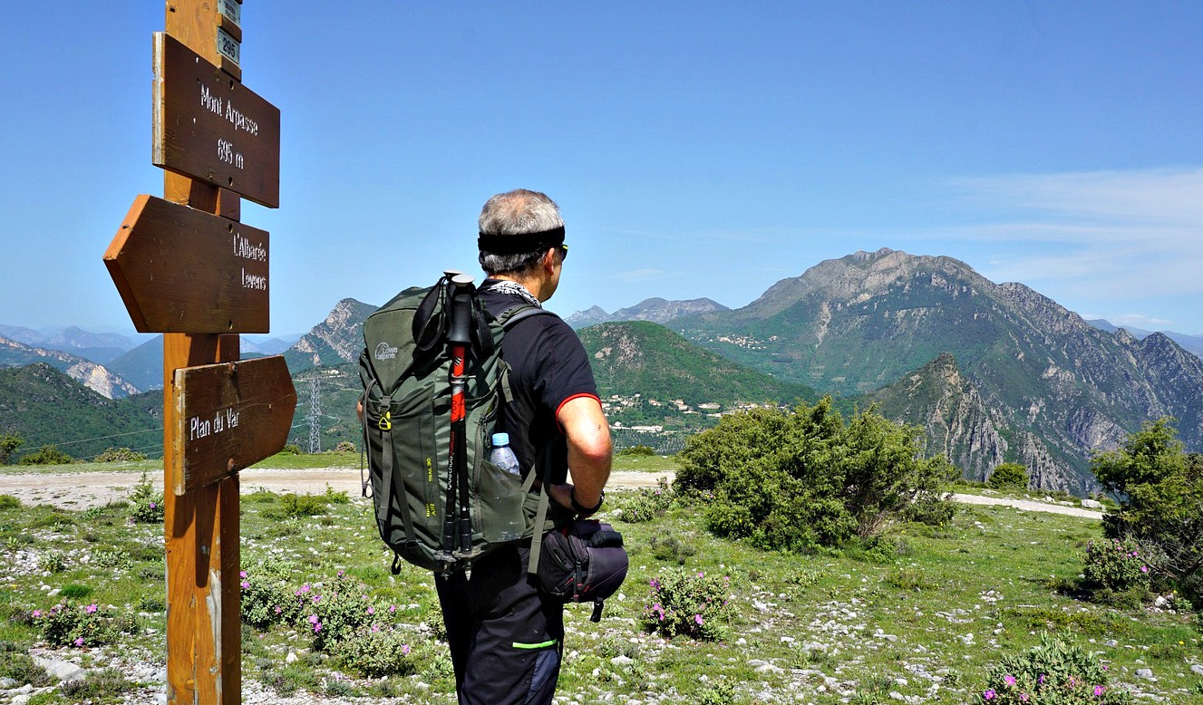
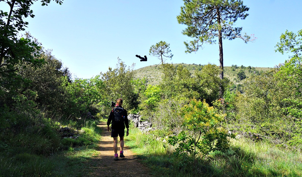
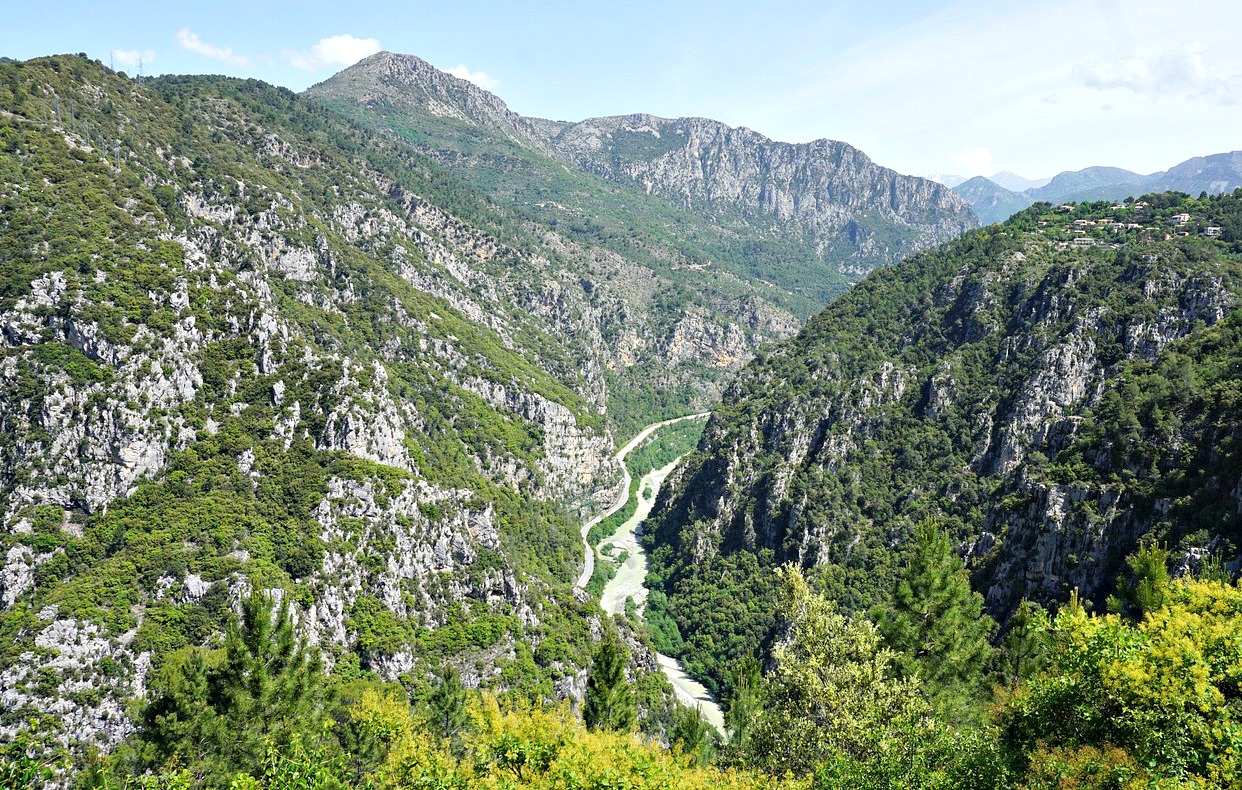
The first stretch offered great views of the Loup River Valley. We ascended further in the woods through Vallon des Combes, came above the tree line to signpost #87a (256 on the map!), and forked left and descended a bit to a clearing named Pré Royer, where the next crossroads signpost#258 in fact had the same number as on the map. We crossed some meadows and an abandoned hut, and came to a dirt track. We turned right; now heading northeast. At the crossroads there was a signpost placed on a rock with an unofficial signpost with names irrelevant for our planned itinerary. We were still guided by yellow markings, and climbed to little over 1000 m elevation, passing signpost #153 (map # 265), where the trail turned southeast towards St-Barnabé.
We followed the trail to the next crossroads, marked with #155 (on the map #264), showing the trail back to Courmes. Numerous other trails crisscross the St-Barnabé Plateau. We came to an oratory by the path, and descended back to signpost #87a. From this point, we took the same trail back to Courmes.
Our GPS track is shown below; signpost numbers are those on the map.
Elevation gain: 470 m
Distance: 12,3 km
Duration: 3h 35
Map: 3642 ET Vallée de l’Estéron Vallée du Loup
 |
| Saint-Barnabé loop hike track |








0 comments:
Note: only a member of this blog may post a comment.