Hike to Lacs de Vens

This must be one of the classic destinations in the Mercantour National Park!
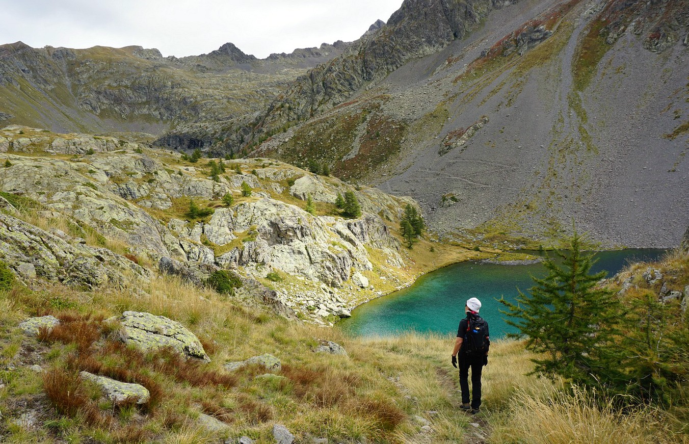
The six (or so) beautiful lakes in the upper Vens Valley can be reached from the Vens parking or Le Pra a bit further away by the D64 road. We chose the first option, which is shorter in distance.
The start is at 1550 m elev. and in spite of a vertical ascent of about 850 m the trail is never too steep or difficult. In fact, during the high season in summer, the parking is often packed with cars as this is the principal itinerary to Refuge de Vens.
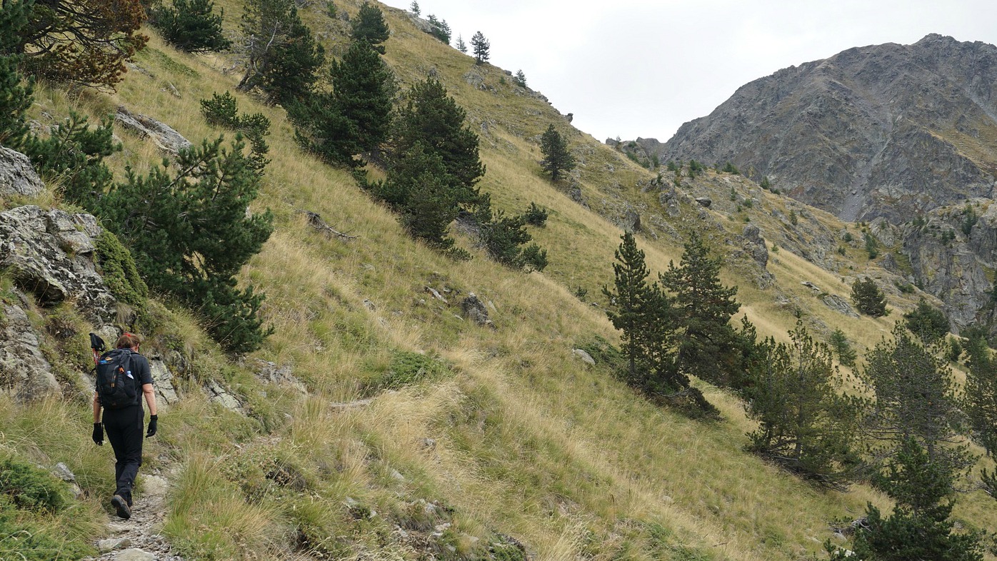
We walked first along a dirt track as far as to Torrent de Vens where we crossed the stream along a wooden bridge,passerelle, to signpost #21. We started to ascend following the left bank of the stream. At 1850 m, we crossed the stream again along a very good bridge. The incline of the upper valley became steeper, but for the hiker the zigzagging trail ensured an agreeable ascent.
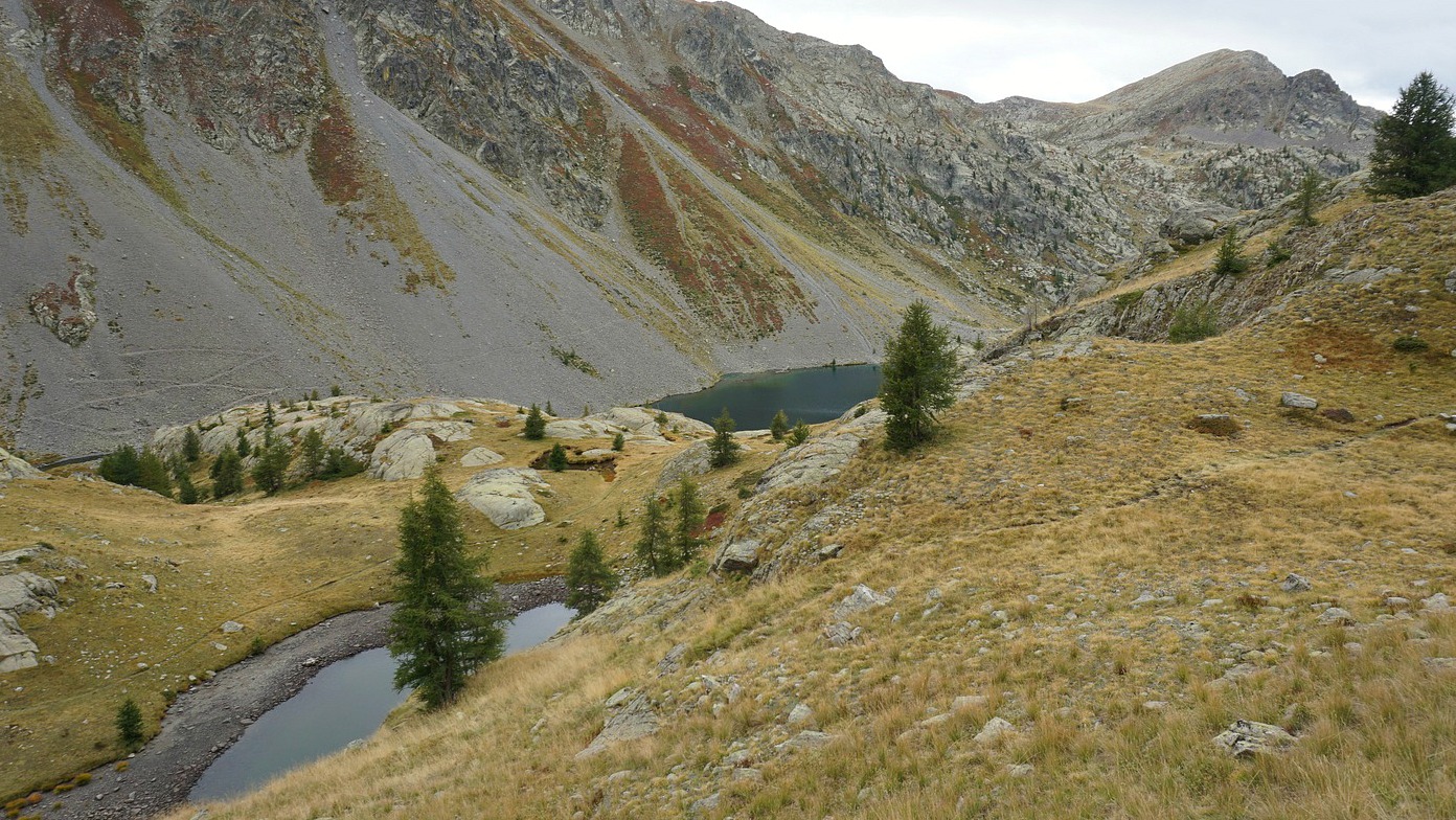
We reached signpost #22 (2293 m), forked right and climbed to Pas des Pecheurs above one of the lakes. We descended to signpost #27 by the lake, where we found a good spot for our picnic.
Since the weather was deteriorating, we decided to skip the smaller southern lakes, and took the trail that circled along the shores towards Refuge de Vens. Light drizzle started on and off. It was late September and the refuge was now closed. We turned to signpost #24 near the refuge, then climbed to the crossroads and signpost #23 (at 2400 m the highest point of this hike). From here, we continued to signpost #22 and took the same path back to our starting point in the valley. On the way down, a lone chamois crossed the trail just in front of us.
In this magnificent part of Mercantour Park, you can choose several itineraries depending on the time of the year, the weather and your preferences.
Our itinerary is shown below, with relevant signposts marked.
Climb: 900 m
Distance: 15 km
Duration: 5h 10 active
Map: IGN 3639 OT Haute Tinée 1


0 comments:
Note: only a member of this blog may post a comment.