Lauvet d'Ilonse

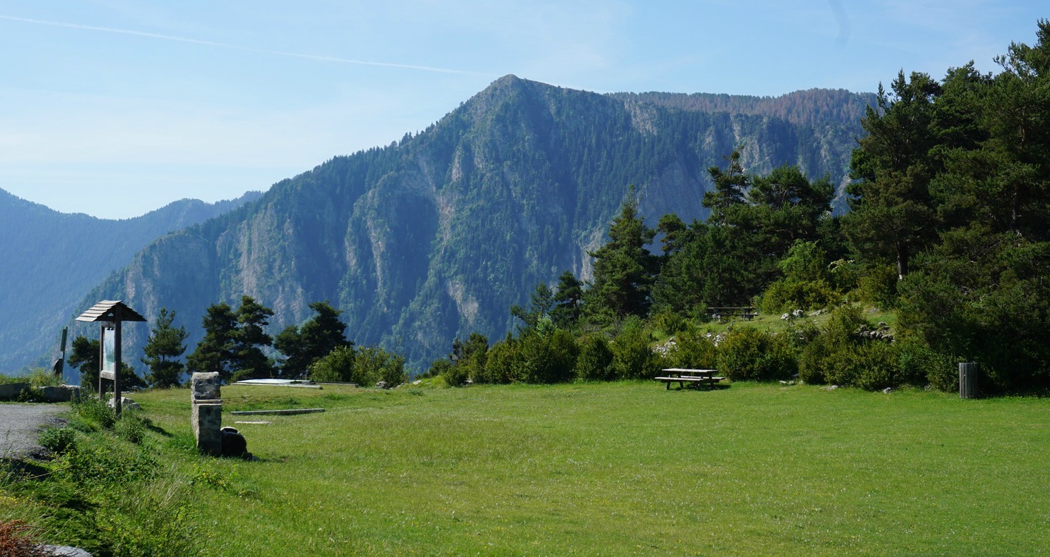
A very narrow paved road that runs through the villages of Ilonse and Pierlas connects the Tinée and Cians River Valleys. The highest point, Col de la Sinne (1438 m) is the starting point of our hike to Lauvet d’Ilonse (1992 m).
Situated deep in the Nice hinterland, Ilonse is one of the most sparsely populated communes in Alpes Maritimes. The road up to the village at 1200m, and 3 km further to Col de la Sinne is an experience itself.
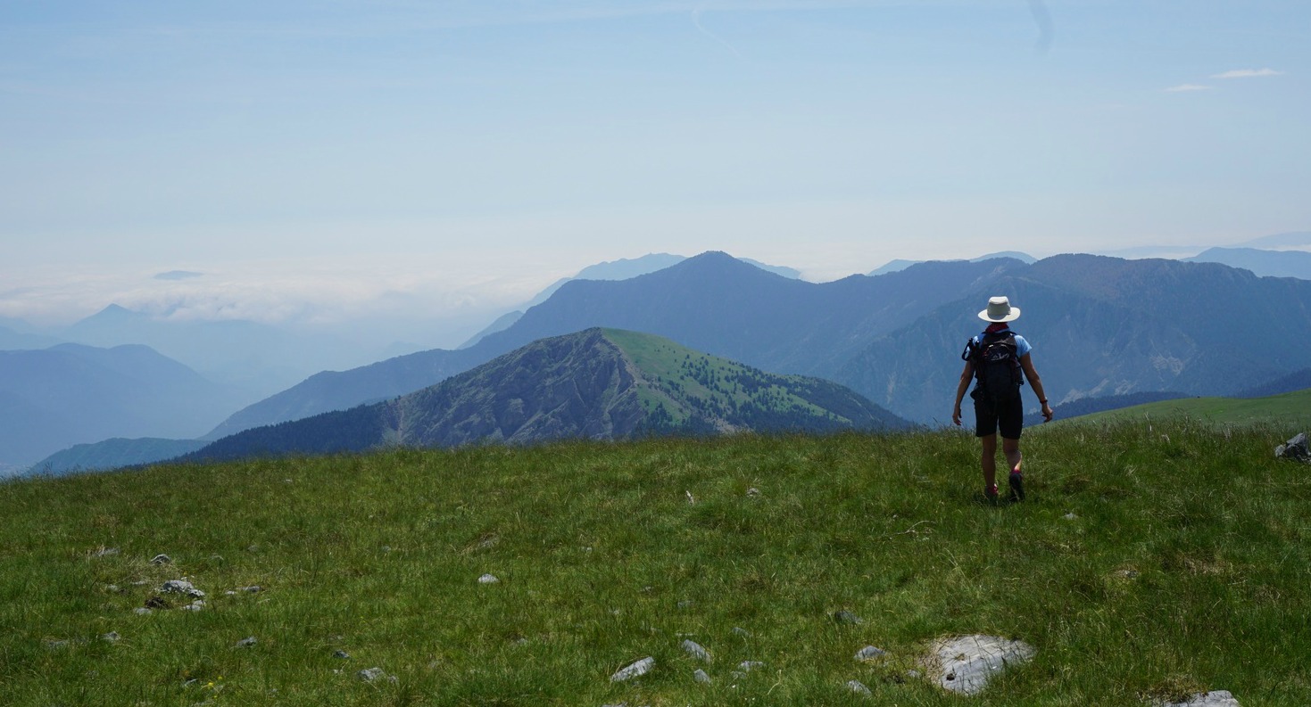
We started from signpost #220 at the col, and headed straight north along a good trail initially in the woods. Passing signposts #221 and 222, we exited the woods and continued the slow ascent along the eastern flank of the mountains. After about 1h 30, the trail turned west, now continuing along alpine meadows, following the northern flank of Lauvet d’Ilonse. We came to signpost #308 (1850 m). From here, the incline directly to the summit was a bit steep, but mostly covered with grass. We reached the summital plateau in about 20 min. It is possible to use a longer but less steep trail shown on the IGN map. Because of the terrain, one can walk almost anywhere on the summit.
For this hike, we followed the guidebook written by Reinhard Scholl (Alpes Maritimes; Rother Guide des Randonnéés). We walked off piste straight west from the summit as instructed. There were not any marked trails. The descent gradually became steeper. The Baisse de Tavarières intersection and the dirt track running on the western side of the mountain were soon visible below us. We descended along the less steep part of the slope, came to the track and headed straight south along it.
The track eventually turned east, and we passed a lamb hut where the livestock happened to be on both sides of the track. And the dogs guarding them, too. We feel that dogs guarding the flocks have become more numerous, bigger and more menacing probably because of the wolves in the region. Herders were nowhere to be seen. Normally, when you meet a flock and dogs you should make a detour or wait till they have crossed. In this situation neither option was possible. So we walked on, and when one of the dogs just still approached, we stopped, and faced the leading dog. Finally, he got the message.
We came to signpost #117, forked left leaving the dirt track. After a short ascent we continued towards signpost #221, and came to the path used in the beginning of the hike. From here, we descended rapidly back to our starting point.
Instead of doing a loop hike as described above, you can always use the same trail back.
Vertical ascent: 630 m
Duration: 5 h
Map: Moyenne Tinée 3641 ET


0 comments:
Note: only a member of this blog may post a comment.