Alpe d'Huez: Hike to Lac Blanc via Col de Charbonnière

Alpe d’Huez (1850 m) is a vast ski resort which is still growing. In summer, it hosts many events such as Tour de France, and during our visit a major triathlon competition.
The resort also offers some great hikes, but you have to do some planning beforehand. For example, some trails are only designated for mountain bikes. Many of the hikes recommended in local guide booklets require the use of the lift system, hence presenting mostly downhill itineraries back to the village.
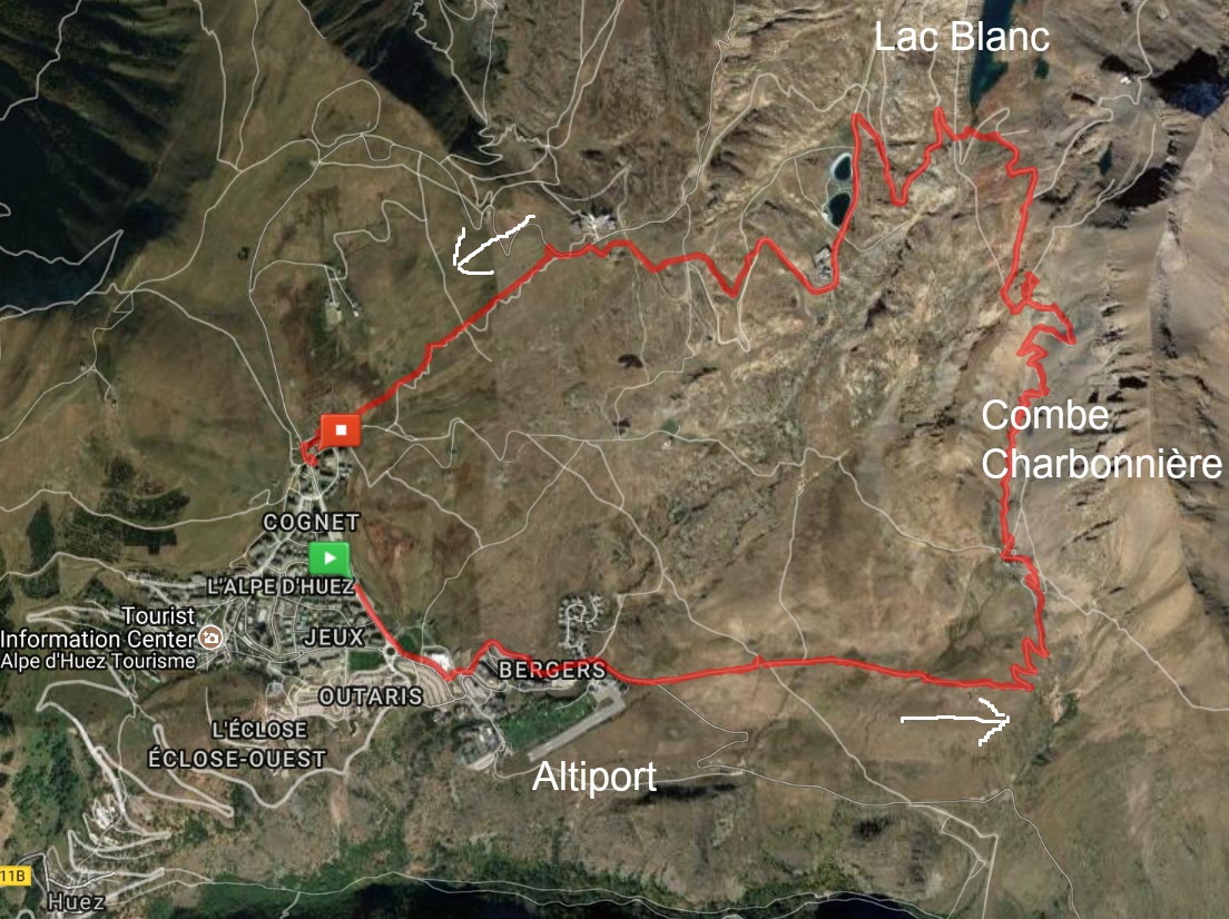
We planned to do a loop hike above the village, ascending to Lac Blanc (2521 m) by taking the route in the Combe Charbonnière Valley.
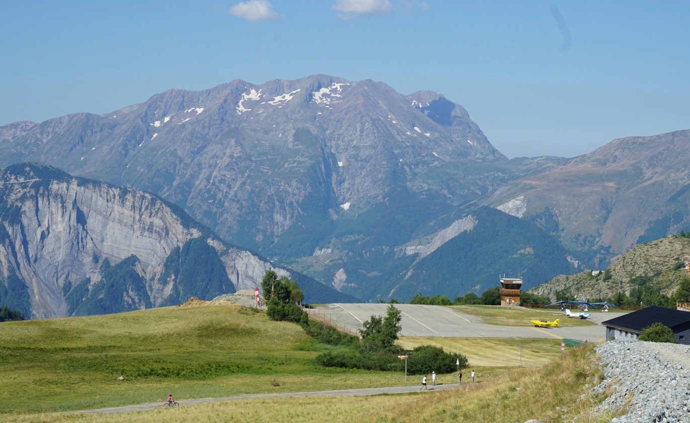
To reach the trail head, we initially planned to take the shuttle bus to the Altiport, the small airport of Alpes d’Huez. However, the driver told us that the bus first descends down to Huez so the whole trip would take one hour! We decided to walk past a few construction sites and reached the Altiport in 20 minutes.
We continued past the Altiport, forked left at a signpost and started to ascend along a stony dirt road. From this signpost, the ascent to Lac Blanc was about 2h 30.
The dirt road ended at a private chalet with the American flag flying. Behind the chalet, we started to ascend more steeply in the beautiful Combe Charbonnière Valley far from the ski lifts. The trail was good and marked with yellow signs.
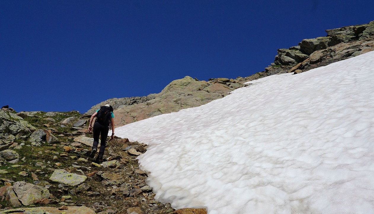
After a rather hot ascent we reached the signpost at Col de Charbonnière (2593 m). We ascended a bit more along a grassy meadow till we had a view of Lac Blanc directly below us. This was a perfect spot for picnic while admiring the summits and Alpe d’Huez below us.
We walked to the southernmost tip of the lake along a marked trail. We then descended fairly rapidly back to Alpe d’Huez along dirt tracks, taking several shortcuts along ski slopes and alpine meadows.
Elevation gain: 830 m
Hiking time: about 5h
Distance: 13 km
IGN Map: 3335 ET le Bourg d’Oisans l’Alpe d’Huez


0 comments:
Note: only a member of this blog may post a comment.