Magnificent ridge above Vars Valley

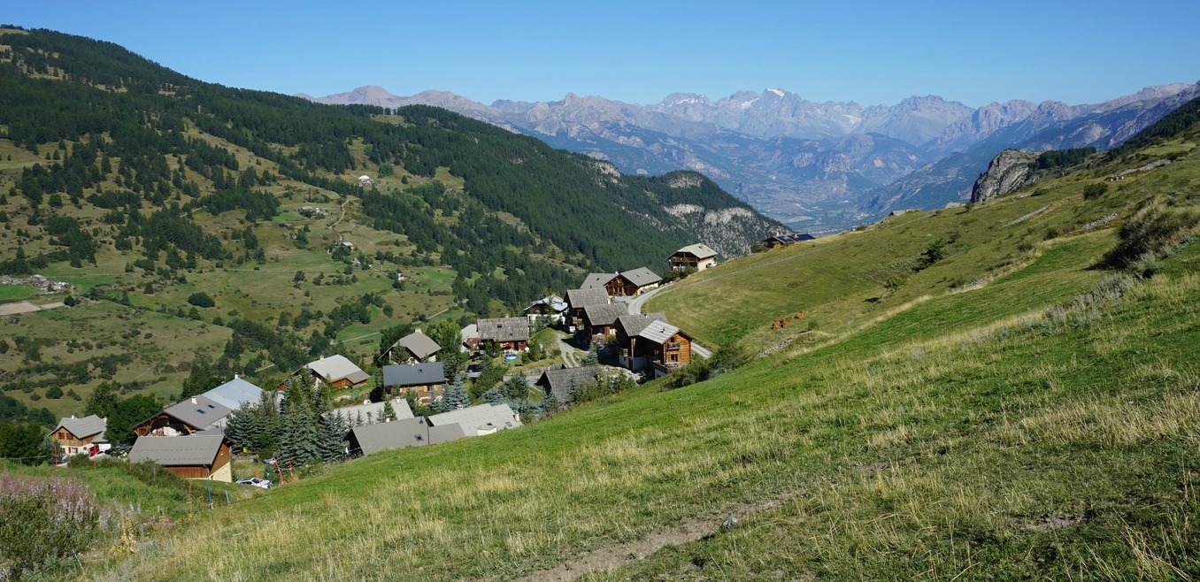
The impressive mountain ridge Crête de Vars northeast above the Vars Valley can be reached either from the village of Ste-Catherine or from Refuge Basse Rua in Val d’Escreins.
We chose to start from Ste-Catherine and hike clockwise as we had visited Val d’Escreins the day before. The ca 2.7 km long ridge reaches 2600 m, and the trail runs most of the time at about 2500 m elevation (highest point 2580 m). If you decide to hike anticlockwise, you’ll have the Les Ecrins Massif with its white mountain tops in your sight but either way, the views on the ridge itself and to the neighbouring mountains are remarkable!
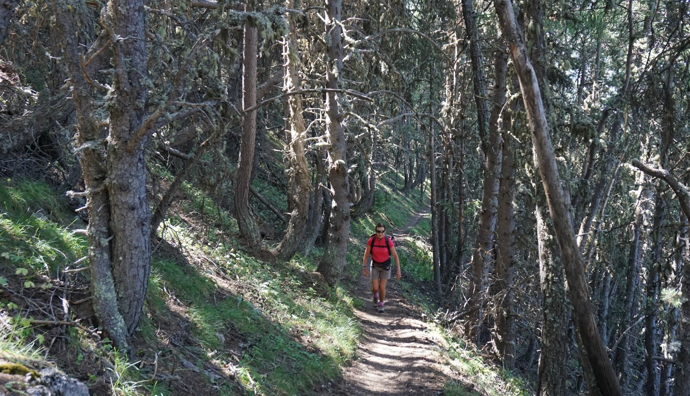
We used the parking in front of the local school in Ste-Catherine as described in the local guide booklet. The first part of the itinerary followed a narrow road, passing a saw mill south of the village before turning north. The signposts showed the direction to Col de la Scie. After having passed a telecom mast, we forked left after a while leaving the dirt road, and continued the ascent heading north along a good trail in a magnificent forest called Bois de la Pinée. We felt that only at this point did the hike really start!
We reached Col de la Scie (2376 m) in about 1h 40 from the start. At the crossroads on the col, our trail along the ridge continued south-southeast while the other trail went down to Refuge Basse Rua. That trail seemed to be a steeper than the one we just had climbed.
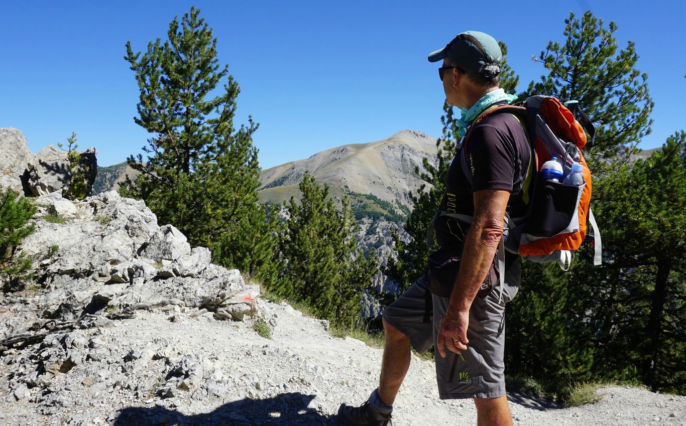
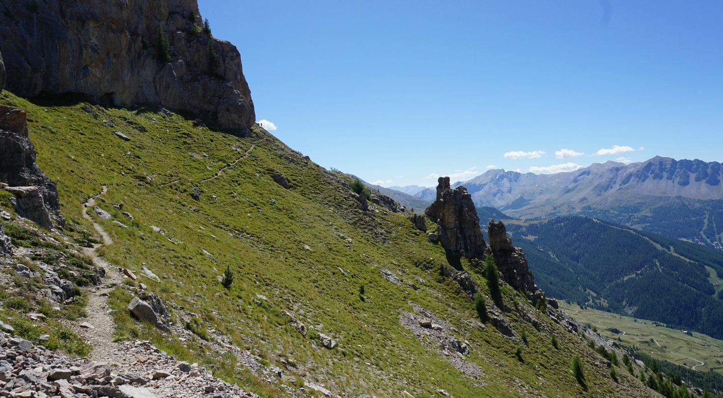
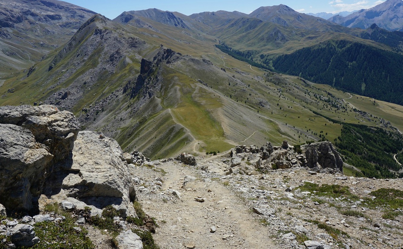
After a short and easy scramble from the col, we came to a beautiful part of the ridge with alpine meadows (title picture above) where we slowly ascended further before reaching the rockier part of the trail. The views down to Val d’Escreins in particular were dramatic as that side of the mountain ridge was precipitous, so stay on the trail!
We could have hiked on the picturesque ridge longer, but it came to a rather abrupt end as we saw next mountain pass, Col de la Coulette (2362 m) below us. We descended rapidly, minding the loose gravel on the trail. Col de la Coulette is another hiking trail crossroads. The trail to the left went down to Val d’Escreins while continuing straight would have taken you to Vallon Laugier. We forked right, and descended back towards Ste-Catherine. There were signposts here and there but the trail was marked with yellow, so it was easy to follow. We dove in the woods again, crossed dirt roads a few times, and eventually came to the saw mill again, but this time from a different direction, closing the loop.
Duration: 5 h
Elevation gain: 750 m
Distance: 12,8 km
Map: IGN 3537 ET Guillestre, Vars, Risoul






0 comments:
Note: only a member of this blog may post a comment.