Rocca Sparvièra

The mountaintop above Coaraze (620 m) in the Nice hinterland has a Nissart name: Rocca Sparvièra (1110 m), or the sparrow hawk rock.
Around the summit, there are ruins of an abandoned village from the 17th century. The medieval village has a dark history; diseases, murders, and a series of earthquakes in the 16th and 17th centuries that preceded the demise of this isolated hamlet. Legend has it that Queen Joanna I of Naples was hiding in the village because she was accused of having her first husband murdered. On Christmas Eve 1357, she went for a mass in Coaraze. Once back, she found her children, nanny and chaplain killed. She cursed the village, burned her castle there, and never returned.
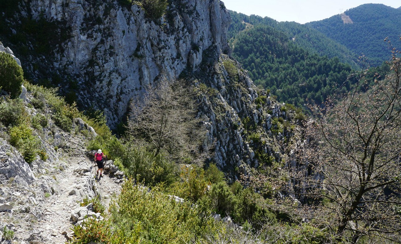
When we tried to hike to Rocca Sparvièra a year ago, the trail was closed for some reason, and we ascended to nearby Mont Férion instead. Maybe there had been a landslide, we did not know. The trail is not recommended during or after heavy rain as a few narrow parts of the trail can become dangerous. In addition, the ruins of the village are fragile, and going under them should be avoided.
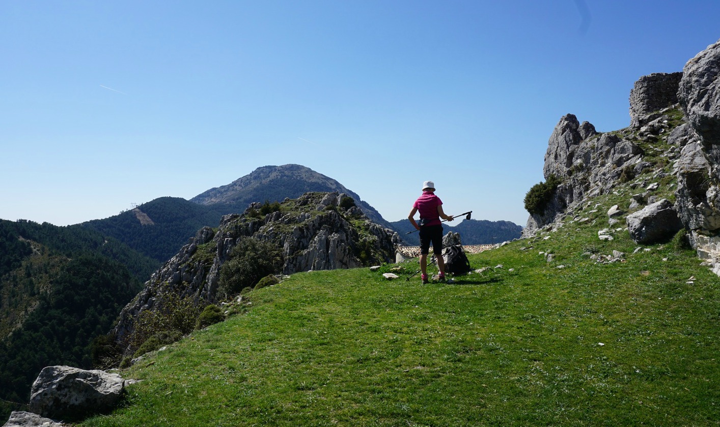
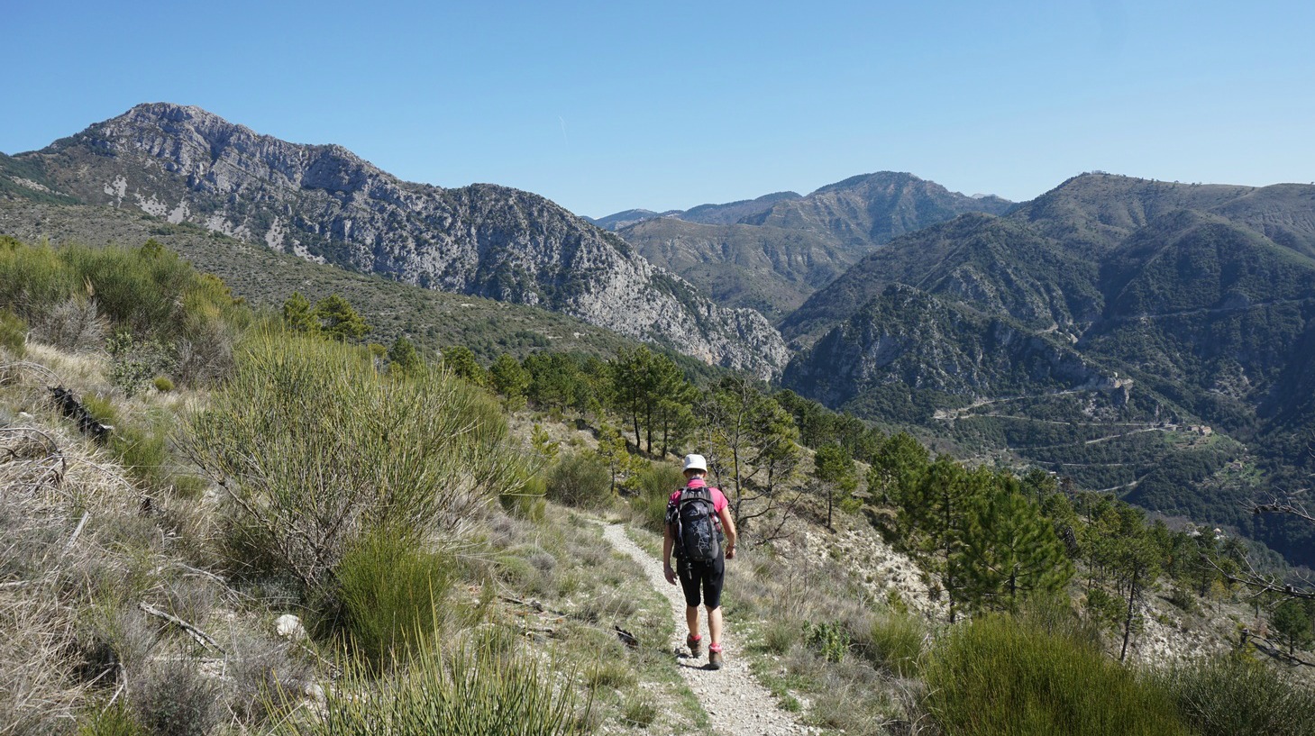
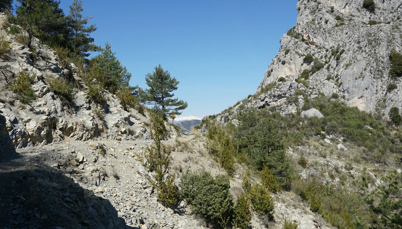
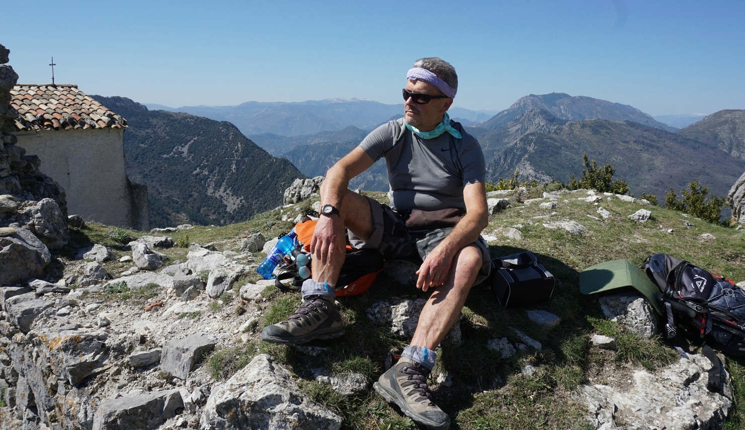
It was late March, temperatures soaring over 20°C with clear skies. We parked near the Coaraze entrance and ascended from signpost #200 by the RD15 road passing the blue chapel, then signposts #201 and 202. You can’t get lost on this trail. At signpost #203 we forked right and continued along a path straight north, circling above several gorges. Some parts were narrow, but nevertheless easy to negotiate. We even met some mountain bikers! We could nevertheless understand that on a rainy day the trail would be slippery. On the other hand, on a sunny summer day, it can get very hot during the ascent. We came to Col St-Michel (970 m), signpost #443 and a crossroads. Seen from here, the ruins of Rocca Sparvièra almost merged with the grey rock of the summit. The path to our goal circled the mountain’s steep western flank. It was said to be a bit aérien or precipitous, and some surefootedness was needed, but really nothing special. We reached Chapel Saint-Michel (1089 m) built in the 18th century, and the ruins of Rocca Sparvièra were just above us.
One wonders why people who built the village here in the middle ages chose such an isolated and steep mountain? Obviously one important reason was that it was easy to defend. However, it is not the only ghost village in the region. If you don’t like ruins, as there really isn’t that much to see, you will certainly enjoy the fantastic views from the trail and from the mountain top to Paillon and Vésubie River valleys and beyond.
Alternative routes up here start from Duranus in the Vésubie River Valley or from Engravin by the RD15 road above Coaraze.
We returned to Coaraze along the same trail.
Duration : 3h 50
Climb: 500 m
Map: “Vallées de la Bévéra et des Paillons” 3741 ET
The French Randoxygène guide has a description of this hike




0 comments:
Note: only a member of this blog may post a comment.