Day hike in Queyras from Ceillac to Col Girardin
It was Bernard Ranc’s wonderful hiking book, Les plus belles Randonnées des Alpes du Sud, which gave us inspiration to this hike near Ceillac in Queyras Regional Nature Park.
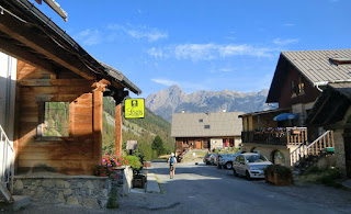
From Nice, we drove over Col de la Bonette and Col de Vars as far as to Guillestre, then up to the small village of Ceillac (4 hours from Nice). We had booked the Hôtel Cascade in Pied du Mèlèzet in the Mèlèzet Valley a couple of kilometers from Ceillac because of its super location. It was great to start the hike along the GR 5 trail straight from our hotel door! The surrounding countryside was quiet, La France Profonde at its very best.
The GR 5 trail ascends steeply in the woods from Pied du Mèlèzet (1670m).After that the trail levels off a bit, turns south, and after about 1h 50 from the start you will reach Lake Miroir (2214m). From here, the GR 5 trail continues southeast ascending to the Collet Ste- Anne (2408m). Part of the trail here follows a ski run. The impressive peaks of Fonte Sancte (3385m) are visible above the trail.
Lake Ste-Anne (2403m) is reached soon. When you see its turquoise water for the first time, you understand why it is considered one of the most beautiful mountain lakes in the region.
GR 5 continues southeast ascending in a high alpine landscape towards Col Girardin (2699 m). At the mountain pass there is a trail that forks left to Tête de Girardin (2875 m), an option if you wish to climb 176 m more. We returned from the Col along the same trail to the Lake Ste- Anne. There we turned northeast following the trail (yellow marks) to the upper parking in the valley at 1967 m. From there, we descended following a path in the Mèlèzet Valley back to Pied du Mèlèzet, our starting point.
Total ascent: 1029 m
Duration: 6h 30
Map: IGN 3537 ET Guillestre
Image of itinerary courtesy of Google Maps


0 comments:
Note: only a member of this blog may post a comment.