Between France and Italy above the Tende tunnel
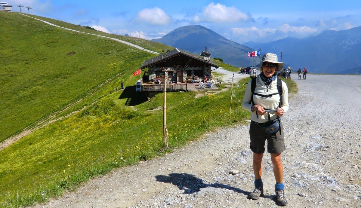
Today’s hike starts from the parking (1804 m) at Chalet de Marmotte above Limone 1400 ski resort on the Italian side of the border. The parking can be reached by following a good paved road Trois Amis just after the tunnel on the Italian side. Drive through Limone 1400; follow the road to the refuge.
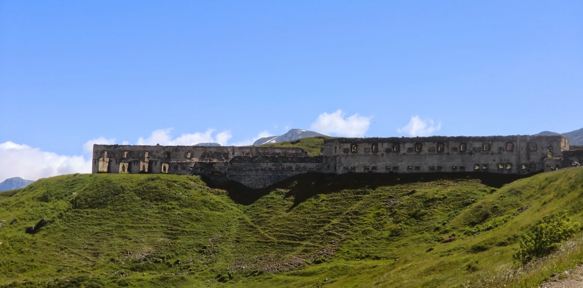
Walk first along a good unpaved road to the geographical mountain pass of Tende (1871 m), signpost 340. From there, follow a dirt road east to the central fortress (Fort Central) to signpost 339.
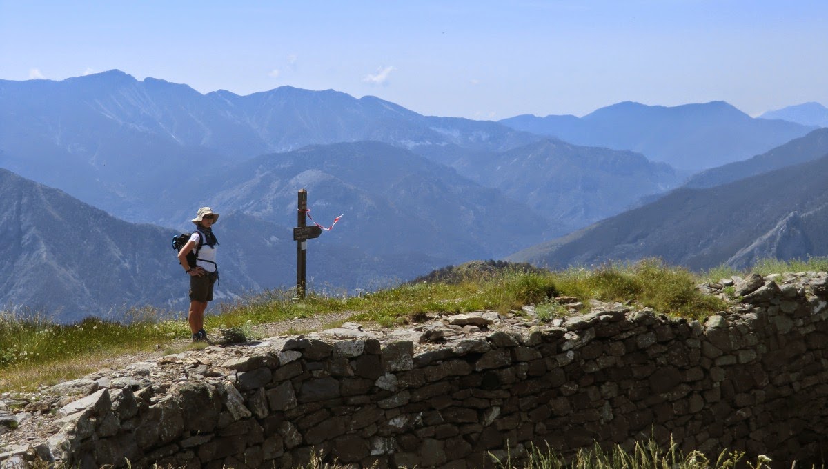
Continue along a good trail to the Tabourde fortress, signpost 335. Up to this point the trail is Grand Randonnée 52A marked with red and white. As far as to this signpost, the walk is easy with negligible ascent offering nevertheless great views in a calm alpine setting.
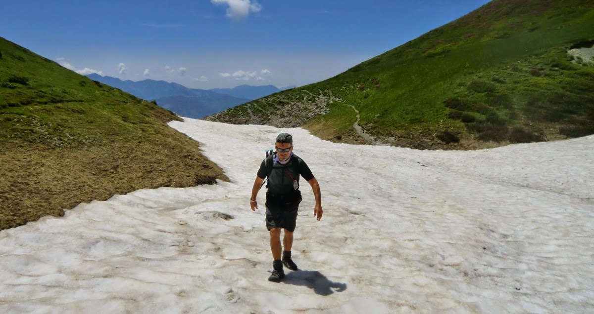
From this point the trail continues to east now marked with yellow signs. After about 500 m or so it reaches the Framoursoure valley heading north. A sheep pen is on the right hand side. At this altitude, parts of the trail were still covered with snow. It seemed that the route had been recently modified, on the web site just a week ago whereas the latest printed version (2013) had it already updated. The previous longer trail would have turned southeast ascending to the Pépin fortress. Now the yellow signs took us to a new unnumbered signpost(the guidebook says it's 337A) at about 2100 m. This signpost also showed the way to the Pépin fortess.
We, however, turned left and started descending as the area was more and more enveloped by clouds and the wind was increasing. We suspected that this recent trail change might have been made because of sheep flocks. Sheepherders allegedly use the Pépin fortress as a shelter. There have been several bloody attacks by wolves in the region.
We made the hike in early July, and rhododendrons were just starting to blossom. The descent back to the starting point was straightforward. We could admire the great views and flowers –clouds permitting.
Duration: 4 hours, vertical gain about 450 m. Map: IGN 3841OT Vallée de la Roya; Info in French: Les Guides Randoxygène: Haut Pays


0 comments:
Note: only a member of this blog may post a comment.